


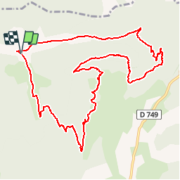


4.3 km | 6.6 km-effort

User


FREE GPS app for hiking
 SityTrail
IGN / Geographical institutes
SityTrail World
The world is yours!
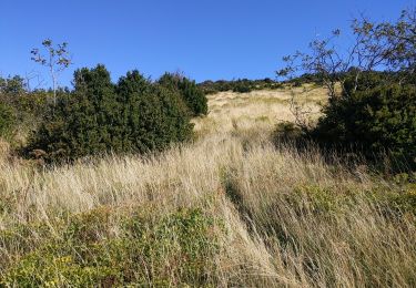
Trail Walking of 12.7 km to be discovered at Auvergne-Rhône-Alpes, Drôme, Combovin. This trail is proposed by psesjs.

Walking
Walking

Walking

Walking

Walking

Walking
Walking
Walking
Walking
bonne idée de partager les randonnées mais mériterait d'être mieux titré.