Trail Electric bike Val-Buëch-Méouge - Chabres départ Ribiers 947 + - Photo
© OpenStreetMap contributors
Length
Length
38 km
Max alt
Max alt
1271 m
Uphill gradient
Uphill gradient
953 m
Km-Effort
Km-Effort  
51 km
Min alt
Min alt
509 m
Downhill gradient
Downhill gradient
953 m
Boucle
Boucle
Yes
Creation date :
2023-05-06 11:20:34.171
Updated on :
2023-05-06 17:42:03.003

(0 Reviews)

Electric bike
Electric bike
3h10
Difficulty : Difficult

Scan this QR Code to open this trail in the SityTrail application

FREE GPS app for hiking

Logo SityTrail SityTrail

IGN / Geographical institutes

Download SityTrail from the App Store Download SityTrail from Google Play

Logo SityTrail SityTrail World

The world is yours!

Download SityTrail from the App Store Download SityTrail from Google Play Download SityTrail on Huawei AppGallery

About

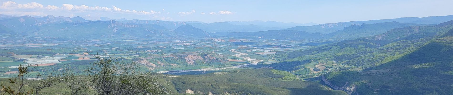
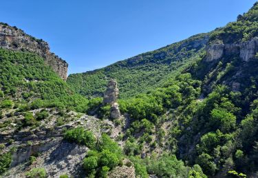
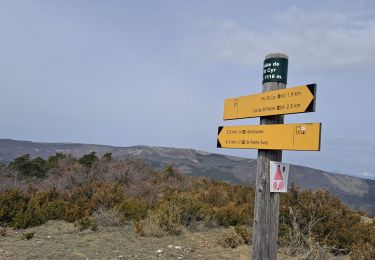
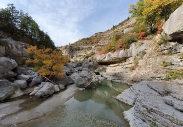
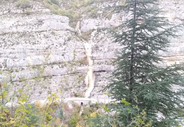
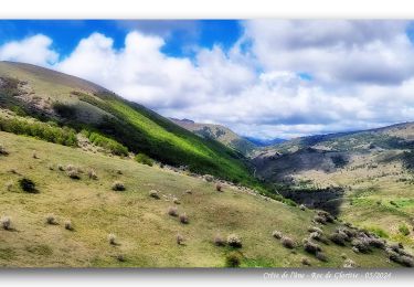
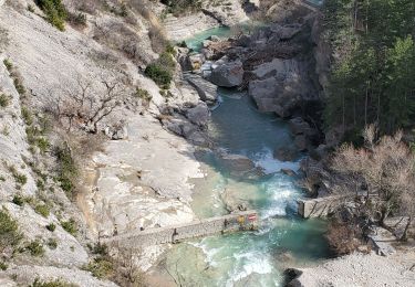
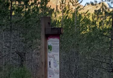
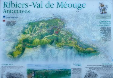
Trail Electric bike of 38 km to be discovered at Provence-Alpes-Côte d'Azur, Hautes-Alpes, Val-Buëch-Méouge. This trail is proposed by claude nier.

Description

Belle montée puissance 2 sur 5 en elec
Descente à Bloc un regal

Elevation profile

Photos

Positioning

Country:
France
Region :
Provence-Alpes-Côte d'Azur
Department/Province :
Hautes-Alpes
Municipality :
Val-Buëch-Méouge
Location:
Unknown
Start:(UTM)
728559 ; 4900693 (31T) N.

Trails nearby

Trail Walking Val-Buëch-Méouge - Rocher de pierre Impie, roc de l'aigle,  pas de Berches  - Photo
Walking
GUIDE
nadd73

Walking

Medium
Val-Buëch-Méouge, Provence-Alpes-Côte d'Azur, Hautes-Alpes, France
12.4 km | 23 km-effort
6h 1min
No
Trail Walking Val-Buëch-Méouge - Gorges de la Méouge - Photo
Walking
GUIDE
Marco05

Walking

Difficult
Val-Buëch-Méouge, Provence-Alpes-Côte d'Azur, Hautes-Alpes, France
11.9 km | 19.5 km-effort
4h 26min
Yes
Trail Walking Val-Buëch-Méouge - Pic de Saint-Cyr - Photo
Walking
GUIDE
Marco05

Walking

Medium
Val-Buëch-Méouge, Provence-Alpes-Côte d'Azur, Hautes-Alpes, France
10.7 km | 20 km-effort
4h 21min
Yes
Trail Walking Val-Buëch-Méouge - les gorges de la Méouge - Photo
Walking
GUIDE
amiral13

Walking

Medium
Val-Buëch-Méouge, Provence-Alpes-Côte d'Azur, Hautes-Alpes, France
13.1 km | 21 km-effort
5h 40min
Yes
Trail Walking Val-Buëch-Méouge - le rocher du château, les gorges de Meouge - Photo
Walking
GUIDE
nadd73

Walking

Medium
Val-Buëch-Méouge, Provence-Alpes-Côte d'Azur, Hautes-Alpes, France
13.7 km | 23 km-effort
4h 52min
Yes
Trail Walking Val-Buëch-Méouge - Crête de l'âne, des Planes et Roc de Gloritte Via Plaugiers - Photo
Walking
PapouBertrand

Walking

Very difficult
Val-Buëch-Méouge, Provence-Alpes-Côte d'Azur, Hautes-Alpes, France
11.1 km | 23 km-effort
5h 19min
Yes
Trail Walking Val-Buëch-Méouge - meouge 15.8kms 754m - Photo
Walking
GUIDE
Danielba

Walking

Medium
Val-Buëch-Méouge, Provence-Alpes-Côte d'Azur, Hautes-Alpes, France
15.1 km | 24 km-effort
7h 1min
Yes
Trail Walking Bevons - Bevons pierre impie roc de l'aigle 15.6km 950m - Photo
Walking
GUIDE
Danielba

Walking

Medium
Bevons, Provence-Alpes-Côte d'Azur, Alpes-de-Haute-Provence, France
15.6 km | 27 km-effort
8h 13min
Yes
Trail Walking Val-Buëch-Méouge - Anti a es - Photo
Walking
GUIDE
Roger Philippe Wallez

Walking

Very difficult
Val-Buëch-Méouge, Provence-Alpes-Côte d'Azur, Hautes-Alpes, France
13.5 km | 25 km-effort
5h 3min
Yes


Close
My subscriptions