3.6 km | 4.8 km-effort
Parano
Luluquetschou
User
Length
4 km
Max alt
1115 m
Uphill gradient
74 m
Km-Effort
5.1 km
Min alt
1017 m
Downhill gradient
128 m
Boucle
No
Creation date :
2023-05-05 16:51:06.143
Updated on :
2023-05-05 17:41:38.731
37m
Difficulty : Very easy
FREE GPS app for hiking
About
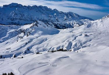
Trail Running of 4 km to be discovered at Valais/Wallis, Monthey, Champéry. This trail is proposed by Luluquetschou.
Positioning
Country:
Switzerland
Region :
Valais/Wallis
Department/Province :
Monthey
Municipality :
Champéry
Location:
Unknown
Start:(Dec)
Start:(UTM)
336028 ; 5116578 (32T) N.
Comments
Trails nearby
Dents de Midi, Lac de Soi
Walking
Very easy
(1)
Val-d'Illiez,
Valais/Wallis,
Monthey,
Switzerland
5.1 km | 9.8 km-effort
2h 30min
Yes
Champéry - Die Galérie Défago
Walking
Very easy
(1)
Champéry,
Valais/Wallis,
Monthey,
Switzerland
10.1 km | 15 km-effort
3h 38min
No
Lac de Soi
Walking
Very difficult
Val-d'Illiez,
Valais/Wallis,
Monthey,
Switzerland
14.6 km | 30 km-effort
5h 19min
Yes
La Foilleuze - Madzé - Morgins
Snowshoes
Very easy
Troistorrents,
Valais/Wallis,
Monthey,
Switzerland
5.1 km | 7 km-effort
1h 47min
No
lac de soi par signal de soi
Walking
Difficult
Val-d'Illiez,
Valais/Wallis,
Monthey,
Switzerland
10.4 km | 25 km-effort
4h 5min
Yes
hike33
Walking
Very easy
Champéry,
Valais/Wallis,
Monthey,
Switzerland
9.1 km | 15.9 km-effort
Unknown
No
vs_hike808c
Walking
Very easy
Champéry,
Valais/Wallis,
Monthey,
Switzerland
102 km | 194 km-effort
36h 47min
Yes