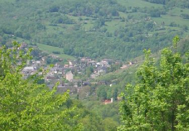
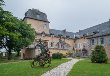
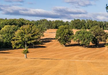
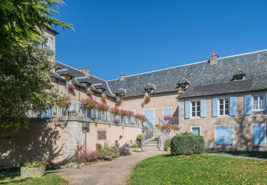
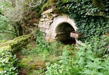
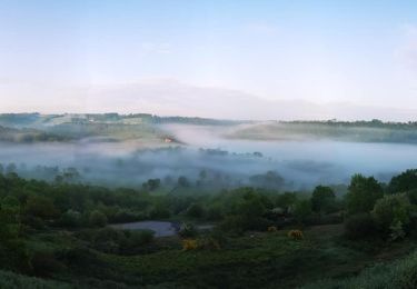
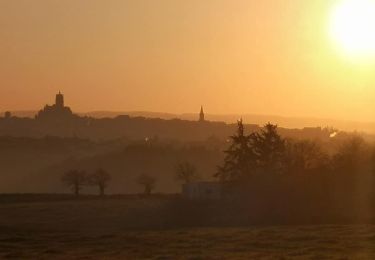
Trail Walking La Loubière - Espace naturel sensible - Photo

Espace naturel sensible

 Lacaze
Lacaze

User

© OpenStreetMap contributors
Length
Length
7.4 km
Max alt
Max alt
622 m
Uphill gradient
Uphill gradient
97 m
Km-Effort
Km-Effort  
8.6 km
Min alt
Min alt
574 m
Downhill gradient
Downhill gradient
96 m
Boucle
Boucle
Yes
Creation date :
2014-12-10 00:00:00.0
Updated on :
2014-12-10 00:00:00.0

(0 Reviews)

Walking
Walking
1h54
Difficulty : Unknown

Scan this QR Code to open this trail in the SityTrail application

FREE GPS app for hiking

Logo SityTrail SityTrail

IGN / Geographical institutes

Download SityTrail from the App Store Download SityTrail from Google Play

Logo SityTrail SityTrail World

The world is yours!

Download SityTrail from the App Store Download SityTrail from Google Play Download SityTrail on Huawei AppGallery

About

Trail Walking of 7.4 km to be discovered at Occitania, Aveyron, La Loubière. This trail is proposed by Lacaze.

Description

Départ parking au panneau de l'espace naturel route de Concoures 400m après le carrefour en venant de Rodez

Elevation profile

Positioning

Country:
France
Region :
Occitania
Department/Province :
Aveyron
Municipality :
La Loubière
Location:
Unknown
Start:(UTM)
471590 ; 4918690 (31T) N.

Trails nearby

Trail Mountain bike Onet-le-Château - Randonnée VTT boucle d'Onet le Château à Macillac - Photo
Mountain bike
tracegps

Mountain bike

Difficult
(1)
Onet-le-Château, Occitania, Aveyron, France
39 km | 51 km-effort
5h 40min
Yes
Trail On foot Sébazac-Concourès - Circuit 18 Nord de Sébazac - Photo
On foot
GUIDE+

On foot

Easy
Sébazac-Concourès, Occitania, Aveyron, France
3.2 km | 3.7 km-effort
50min
No
Trail On foot Sébazac-Concourès - Circuit 17 Concourès - Photo
On foot
GUIDE+

On foot

Easy
Sébazac-Concourès, Occitania, Aveyron, France
9 km | 10.6 km-effort
2h 24min
Yes
Trail Walking Rodelle - BEZONNES Nord - Photo
Walking
Strabidja

Walking

Medium
(1)
Rodelle, Occitania, Aveyron, France
6 km | 6.3 km-effort
1h 25min
Yes
Trail Walking Sébazac-Concourès - lo camin polida vista - Photo
Walking
Lacaze

Walking

Easy
(1)
Sébazac-Concourès, Occitania, Aveyron, France
8.5 km | 9.6 km-effort
3h 0min
Yes
Trail On foot Sébazac-Concourès - Lo Cami de la Font - Photo
On foot
GUIDE+

On foot

Easy
Sébazac-Concourès, Occitania, Aveyron, France
5.9 km | 6.6 km-effort
1h 29min
No
Trail On foot Bozouls - BARRIAC / CARCUAC - Photo
On foot
Strabidja

On foot

Easy
Bozouls, Occitania, Aveyron, France
3.9 km | 4.8 km-effort
1h 0min
Yes
Trail Mountain bike Onet-le-Château - Rodez Agglomeration - Circuit 18 - Les planètes - Photo
Mountain bike
randoruthene

Mountain bike

Easy
Onet-le-Château, Occitania, Aveyron, France
7.2 km | 8.9 km-effort
35min
Yes
Trail Mountain bike Onet-le-Château - Rodez Agglomeration - Circuit 17 - Les grands chemins - Photo
Mountain bike
randoruthene

Mountain bike

Very difficult
Onet-le-Château, Occitania, Aveyron, France
43 km | 51 km-effort
3h 24min
Yes


Close
My subscriptions