

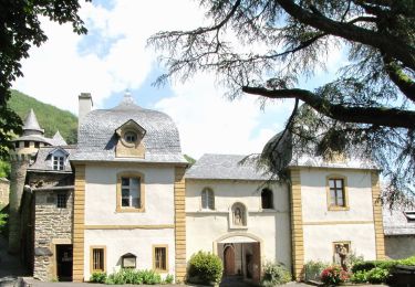
Le château du Bousquet

Lacaze
User

Length
7.8 km

Max alt
964 m

Uphill gradient
202 m

Km-Effort
10.5 km

Min alt
870 m

Downhill gradient
201 m
Boucle
Yes
Creation date :
2014-12-10 00:00:00.0
Updated on :
2014-12-10 00:00:00.0
2h13
Difficulty : Medium

FREE GPS app for hiking
About
Trail Walking of 7.8 km to be discovered at Occitania, Aveyron, Montpeyroux. This trail is proposed by Lacaze.
Description
Départ de St-Remy de Bedène.
A voir le château après le Bousquet le chemin pour monter à Pinsonnac beaucoup d'eau.De bonnes chaussures sont nécessaires.
Positioning
Country:
France
Region :
Occitania
Department/Province :
Aveyron
Municipality :
Montpeyroux
Location:
Unknown
Start:(Dec)
Start:(UTM)
484997 ; 4942855 (31T) N.
Comments
Trails nearby

2024-06-12_14h41m44_visorando-circuit-autour-du-lac-des-galens


sport
Very easy
(2)
Soulages-Bonneval,
Occitania,
Aveyron,
France

11.4 km | 14.3 km-effort
Unknown
Yes
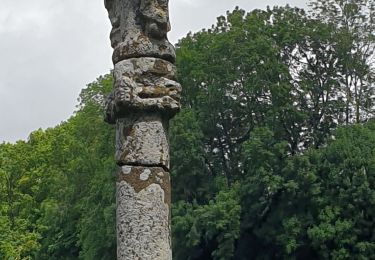
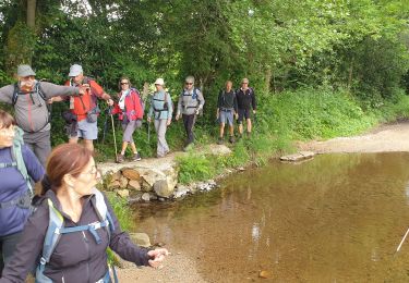
Soulagese Chateau du ousquet


Walking
Easy
Laguiole,
Occitania,
Aveyron,
France

15.2 km | 19.8 km-effort
5h 48min
Yes

Laguiole Pigasse


Walking
Easy
Laguiole,
Occitania,
Aveyron,
France

6.2 km | 8.4 km-effort
1h 47min
Yes
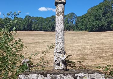
la croix du Pal


Walking
Medium
Curières,
Occitania,
Aveyron,
France

15.2 km | 22 km-effort
4h 29min
Yes
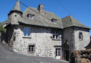
Sentier Aubrac - Abbaye de Bonneval - Espalion


On foot
Easy
Condom-d'Aubrac,
Occitania,
Aveyron,
France

12.8 km | 19.2 km-effort
4h 21min
No
Lagarrigues Soulages Bonneval


Walking
Very easy
Laguiole,
Occitania,
Aveyron,
France

12.5 km | 15.8 km-effort
3h 8min
Yes
Tour de l'Aubrac 4


Walking
Medium
Laguiole,
Occitania,
Aveyron,
France

16.9 km | 22 km-effort
4h 42min
No


 SityTrail


