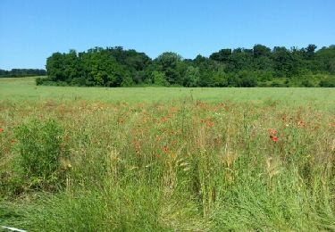
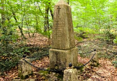
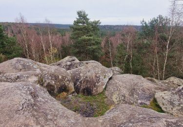
17.3 km | 21 km-effort
20230503 marche rochette
TaxiMarne
User
Length
7.3 km
Max alt
105 m
Uphill gradient
59 m
Km-Effort
8 km
Min alt
63 m
Downhill gradient
56 m
Boucle
Yes
Creation date :
2023-05-03 07:15:46.833
Updated on :
2023-05-03 10:11:22.295
2h54
Difficulty : Medium
FREE GPS app for hiking
About
Trail Walking of 7.3 km to be discovered at Ile-de-France, Seine-et-Marne, Dammarie-les-Lys. This trail is proposed by TaxiMarne.
Positioning
Country:
France
Region :
Ile-de-France
Department/Province :
Seine-et-Marne
Municipality :
Dammarie-les-Lys
Location:
Unknown
Start:(Dec)
Start:(UTM)
473303 ; 5372744 (31U) N.
Comments
Trails nearby
Sur les traces de Césaire Sempité - Fontainebleau rocher canon
Walking
Easy
(1)
Fontainebleau,
Ile-de-France,
Seine-et-Marne,
France
4h 8min
Yes
melun-bas.samois
Mountain bike
Medium
(1)
Melun,
Ile-de-France,
Seine-et-Marne,
France
38 km | 43 km-effort
2h 45min
Yes
Fontainebleau les monts de Fay
On foot
Medium
Fontainebleau,
Ile-de-France,
Seine-et-Marne,
France
22 km | 27 km-effort
6h 12min
Yes
Boucle Fontainebleau
Walking
Medium
Fontainebleau,
Ile-de-France,
Seine-et-Marne,
France
29 km | 34 km-effort
5h 49min
Yes
Boucle Boissise la BERTRAND 30 km
Walking
Very difficult
Boissise-la-Bertrand,
Ile-de-France,
Seine-et-Marne,
France
32 km | 36 km-effort
6h 36min
Yes
Le tour du Grand Paris via le gr1 : Etape 13 Melun Barbizon
Walking
Easy
Melun,
Ile-de-France,
Seine-et-Marne,
France
27 km | 33 km-effort
5h 55min
No
sur-les-pas-de-paul-c-zanne
On foot
Easy
(3)
Maincy,
Ile-de-France,
Seine-et-Marne,
France
7.3 km | 8.6 km-effort
1h 57min
Yes
Boucle 20 km autour de Chartrettes
Walking
Very easy
Chartrettes,
Ile-de-France,
Seine-et-Marne,
France
19.9 km | 23 km-effort
4h 32min
Yes
vives eaux 2019
Walking
Very easy
(1)
Boissise-la-Bertrand,
Ile-de-France,
Seine-et-Marne,
France
11.3 km | 12.9 km-effort
2h 45min
Yes