


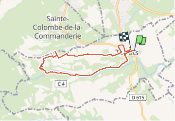

15 km | 18.2 km-effort

User


FREE GPS app for hiking
 SityTrail
IGN / Geographical institutes
SityTrail World
The world is yours!
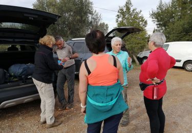
Trail Walking of 8 km to be discovered at Occitania, Pyrénées-Orientales, Terrats. This trail is proposed by MarcOBRECHT.
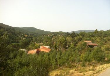
Depuile stade vers Canterrane sur 4 km et retour par vignoble et cave


Walking
Walking
Walking
Walking

Walking

Mountain bike
Walking

Walking

Walking