


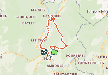


22 km | 32 km-effort


User


FREE GPS app for hiking
 SityTrail
IGN / Geographical institutes
SityTrail World
The world is yours!
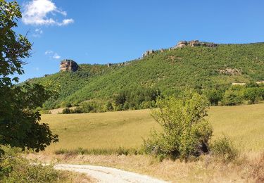
Trail Walking of 15.3 km to be discovered at Occitania, Aveyron, Nant. This trail is proposed by jeff2.
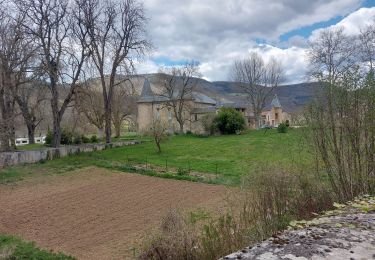
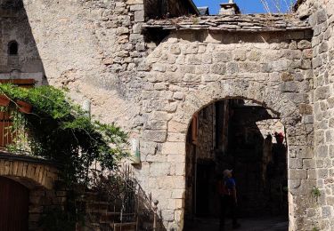
Belle montée à la fraîche, vue exceptionnelle, et descente sur Cantobre, déjeuner sur la place du village.
Retour tranquille.


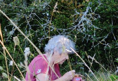
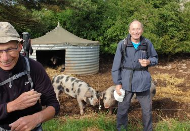
31 photos in total. Please click on a photo to see them all in the gallery.
Walking
Walking
Walking

Walking
Walking

Running

Walking
Walking