


5.8 km | 8.4 km-effort

User


FREE GPS app for hiking
 SityTrail
IGN / Geographical institutes
SityTrail World
The world is yours!
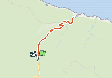
Trail Walking of 4.5 km to be discovered at Region of Crete, Chania Regional Unit. This trail is proposed by Bart2015.
Petite balade dans la presqu'île d'Akrotiri au nord-est de Chania pour découvrir 2 monastères et entre les deux la grotte d'Arkoudiotissa. La balade d'origine est prolongée jusqu'à la mer ...
Bonne balade ...
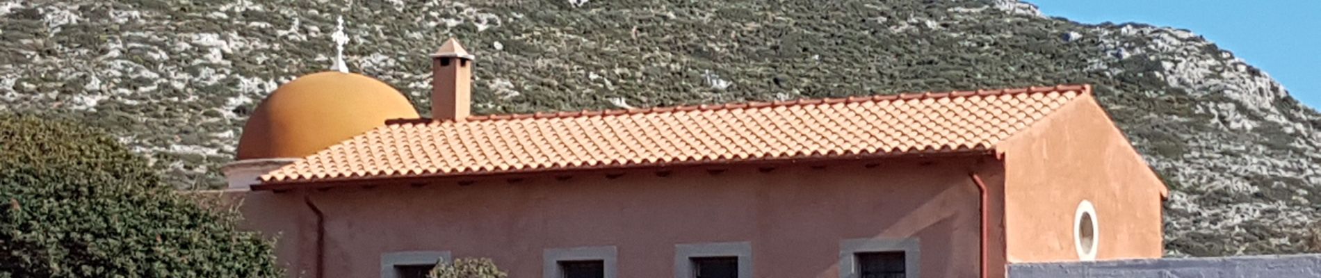
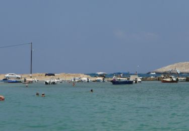
 - Photo 1")
 - Photo 2")
 - Photo 3")
 - Photo 4")
 - Photo 5")
 - Photo 6")
 - Photo 7")
 - Photo 8")
 - Photo 9")
 - Photo 10")
 - Photo 11")
 - Photo 12")
 - Photo 13")
 - Photo 14")
 - Photo 15")
 - Photo 16")
 - Photo 17")
 - Photo 18")
 - Photo 19")
 - Photo 20")
On foot

Walking
Walking