


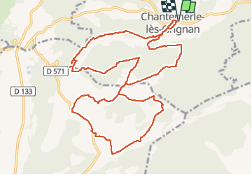

7.2 km | 8.4 km-effort


User


FREE GPS app for hiking
 SityTrail
IGN / Geographical institutes
SityTrail World
The world is yours!
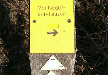
Trail Walking of 14.7 km to be discovered at Auvergne-Rhône-Alpes, Drôme, Chantemerle-lès-Grignan. This trail is proposed by GOIOLIRIBES.
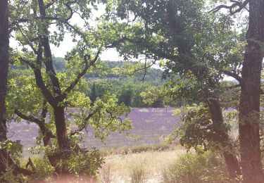
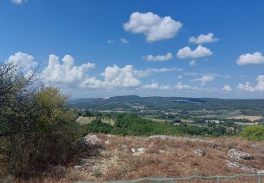
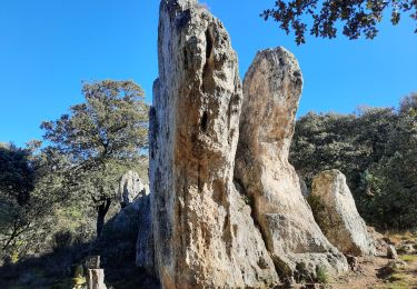
très belle rando - faite en avril 2023 en petit comité (7 pers.).
Bel emplacement pour pique niquer juste après les Plantiers.


Walking

Walking

Walking
Walking
Walking
Walking

Walking
Walking

Walking