


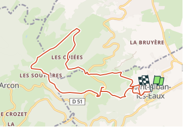

17.7 km | 25 km-effort


User


FREE GPS app for hiking
 SityTrail
IGN / Geographical institutes
SityTrail World
The world is yours!
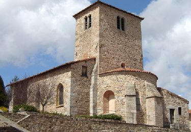
Trail Walking of 10.5 km to be discovered at Auvergne-Rhône-Alpes, Loire, Saint-Alban-les-Eaux. This trail is proposed by Jgar.
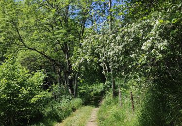
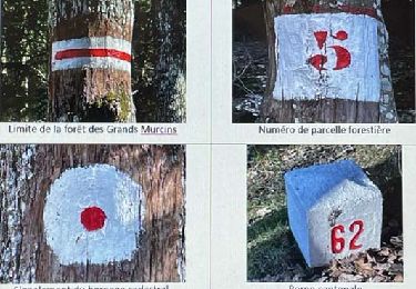
Le cheminement ne fait que monter depuis le bourg jusqu'à la route de l'arboretum des Grands Murcins. Circuit déconseillé pour un octogénaire.

Walking

Walking
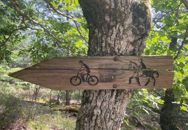
Walking
Walking

Walking

Walking

Walking
On foot
Walking