4.9 km | 6.2 km-effort
Villeneuve
jpblimond
User
Length
17.1 km
Max alt
429 m
Uphill gradient
349 m
Km-Effort
22 km
Min alt
307 m
Downhill gradient
350 m
Boucle
Yes
Creation date :
2023-04-26 12:26:17.0
Updated on :
2023-04-27 06:28:25.66
4h29
Difficulty : Medium
FREE GPS app for hiking
About
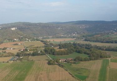
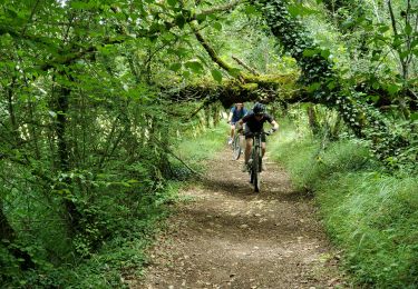
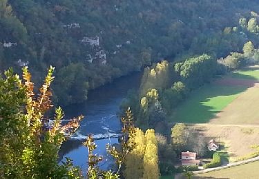
Trail Walking of 17.1 km to be discovered at Occitania, Aveyron, Villeneuve. This trail is proposed by jpblimond.
Positioning
Country:
France
Region :
Occitania
Department/Province :
Aveyron
Municipality :
Villeneuve
Location:
Unknown
Start:(Dec)
Start:(UTM)
423023 ; 4921024 (31T) N.
Comments
Trails nearby
Balade autour de Sainte-Croix - Circuit 2
On foot
Easy
Sainte-Croix,
Occitania,
Aveyron,
France
1h 24min
No
Villeneuve Perpissou Caussanels Montsales Saut Mounine Borie de L'angle Tourr...
Mountain bike
Easy
Villeneuve,
Occitania,
Aveyron,
France
43 km | 51 km-effort
3h 4min
Yes
Villeneuve Rulhe Les Cavaliers LeSoulie Villeneuve
Mountain bike
Difficult
(1)
Villeneuve,
Occitania,
Aveyron,
France
19.6 km | 25 km-effort
2h 6min
Yes
Villeneuve Mas de Rousset St Igest Environs de Drulhe Les Sapins Mas de Marco...
Mountain bike
Medium
Villeneuve,
Occitania,
Aveyron,
France
52 km | 64 km-effort
3h 26min
Yes
Villeneuve cajarc
Electric bike
Medium
Villeneuve,
Occitania,
Aveyron,
France
47 km | 59 km-effort
3h 18min
Yes
Villeneuve
Electric bike
Medium
Villeneuve,
Occitania,
Aveyron,
France
34 km | 44 km-effort
3h 38min
Yes
Villeneuve Notre Dame Lombregot la Sarette Prox Cenac Cimetière Marin Marin B...
Mountain bike
Easy
Villeneuve,
Occitania,
Aveyron,
France
28 km | 35 km-effort
2h 33min
Yes
Villeneuve nd lombregot les cambous les couzis toulonjac lcamp del bosc le tr...
Mountain bike
Difficult
Villeneuve,
Occitania,
Aveyron,
France
54 km | 66 km-effort
4h 30min
Yes
Villeneuve Camp Claux Vercantelle Tastayre Bervic Chapelle Rhinaudes Ols Le T...
Mountain bike
Easy
Villeneuve,
Occitania,
Aveyron,
France
41 km | 50 km-effort
3h 46min
No