


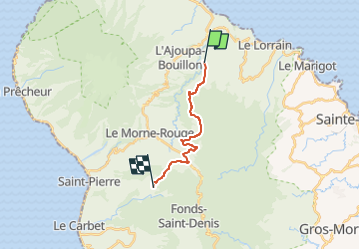

9.4 km | 14.9 km-effort


User GUIDE


FREE GPS app for hiking
 SityTrail
IGN / Geographical institutes
SityTrail World
The world is yours!
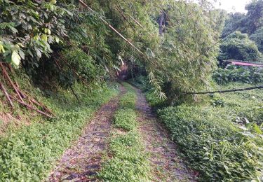
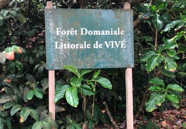
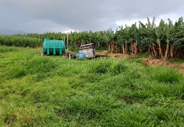
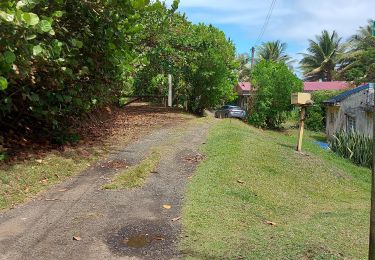
Trail On foot of 16.7 km to be discovered at Martinique, Unknown, Le Lorrain. This trail is proposed by Lamartiniere.
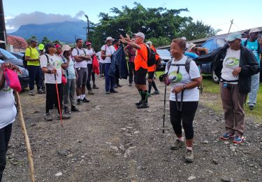
Cette randonnée nécessite demande d'autorisation de passage obligatoire pour groupe Soleil.
Test pour le" Défi Ti Chimen" (Groupe Soleil)
Plateau Morne Capot, le Lorrain - Place Jules Pain, Fonds-St-Denis via le Bois Jourdan, environ 17 kms Descente vers Ecole maternelle et Eglise) arrivée Place Jules Pain.
Départ Groupe Etoile : Devant Socomor, direction Etablissement Source minérale Champflore, Centre des sourds et muets, Fonds-St-Denis, via Col Yang Ting, passage près école Maternelle puis église et arrivée Place Jules Pain.

Walking
Walking
Walking
Walking
Walking
Walking
Walking
Walking
Walking