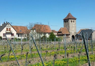
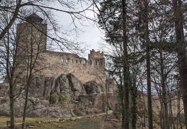
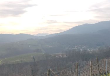
Trail Walking Reichsfeld - Reichsfeld Sauloch - Photo

Reichsfeld Sauloch

© OpenStreetMap contributors
Length
Length
8.2 km
Max alt
Max alt
649 m
Uphill gradient
Uphill gradient
378 m
Km-Effort
Km-Effort  
13.1 km
Min alt
Min alt
325 m
Downhill gradient
Downhill gradient
335 m
Boucle
Boucle
No
Creation date :
2023-04-26 07:17:54.82
Updated on :
2023-04-26 10:08:18.219

(0 Reviews)

Walking
Walking
2h47
Difficulty : Difficult

Scan this QR Code to open this trail in the SityTrail application

FREE GPS app for hiking

Logo SityTrail SityTrail

IGN / Geographical institutes

Download SityTrail from the App Store Download SityTrail from Google Play

Logo SityTrail SityTrail World

The world is yours!

Download SityTrail from the App Store Download SityTrail from Google Play Download SityTrail on Huawei AppGallery

About

Trail Walking of 8.2 km to be discovered at Grand Est, Bas-Rhin, Reichsfeld. This trail is proposed by Dominique Baudelocque .

Elevation profile

Positioning

Country:
France
Region :
Grand Est
Department/Province :
Bas-Rhin
Municipality :
Reichsfeld
Location:
Unknown
Start:(UTM)
380443 ; 5358278 (32U) N.

Trails nearby

Trail Walking Dambach-la-Ville - Les ruines de Bernstein et d'Ortenbourg par la forêt - Photo
Walking
VacheKiri67

Walking

Medium
(1)
Dambach-la-Ville, Grand Est, Bas-Rhin, France
13 km | 18.5 km-effort
4h 38min
Yes
Trail Walking Andlau - Depuis Andlau vers le village viticole de Mittelbergheim - Photo
Walking
VacheKiri67

Walking

Medium
(1)
Andlau, Grand Est, Bas-Rhin, France
11.9 km | 15.9 km-effort
4h 3min
Yes
Trail Equestrian Saint-Pierre-Bois - St Pierre Bois - Ortembourg 14062014 - Photo
Equestrian
sophie.borjon

Equestrian

Very easy
(1)
Saint-Pierre-Bois, Grand Est, Bas-Rhin, France
25 km | 36 km-effort
5h 14min
Yes
Trail Walking Dambach-la-Ville - suuntoapp-Hiking-2023-12-26T08-42-47Z - Photo
Walking
GUIDE
holtzv

Walking

Very difficult
Dambach-la-Ville, Grand Est, Bas-Rhin, France
14.3 km | 21 km-effort
4h 43min
Yes
Trail Walking Reichsfeld - 2019-12-28 Marche Reichsfeld Ungersberg Gruckert - Photo
Walking
GUIDE
holtzv

Walking

Very easy
Reichsfeld, Grand Est, Bas-Rhin, France
12.2 km | 20 km-effort
3h 5min
Yes
Trail Walking Nothalten - nothalten - Photo
Walking
rensmusic

Walking

Very easy
(1)
Nothalten, Grand Est, Bas-Rhin, France
9.6 km | 13 km-effort
2h 13min
No
Trail Walking Le Hohwald - Tour du Hohwald - Photo
Walking
zazie

Walking

Medium
(1)
Le Hohwald, Grand Est, Bas-Rhin, France
8 km | 11.3 km-effort
2h 26min
Yes
Trail Walking Mittelbergheim - Mittelbergheim - Château du Landsberg - Photo
Walking
tracegps

Walking

Medium
(3)
Mittelbergheim, Grand Est, Bas-Rhin, France
15.4 km | 23 km-effort
5h 0min
Yes
Trail Walking Mittelbergheim - Boucle des châteaux d'Andlau et du Sepsbourg - Photo
Walking
dudu42

Walking

Medium
Mittelbergheim, Grand Est, Bas-Rhin, France
9.3 km | 13 km-effort
2h 27min
Yes


Close
My subscriptions