


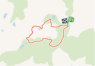

12.1 km | 18.7 km-effort


User


FREE GPS app for hiking
 SityTrail
IGN / Geographical institutes
SityTrail World
The world is yours!
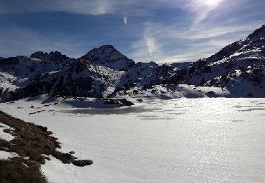
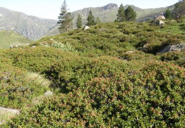
Trail Other activity of 8 km to be discovered at Occitania, Ariège, Aston. This trail is proposed by Frings.

Walking
Walking
Walking
Walking
Walking
Walking
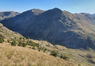
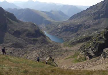
rando pouvant être magnifique si le départ ne commençait pas directement dans une barre rocheuse..le retour est sur env 200m de pentes importantes avec du gyspe. trop dangereux à mon sens pour le partager grand public..