13.6 km | 16 km-effort
sortie du 25-04-2023
Didier-114
User
Length
9 km
Max alt
173 m
Uphill gradient
86 m
Km-Effort
10.1 km
Min alt
126 m
Downhill gradient
85 m
Boucle
Yes
Creation date :
2023-04-25 12:03:11.006
Updated on :
2023-04-25 14:42:46.157
2h38
Difficulty : Easy
FREE GPS app for hiking
About
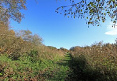
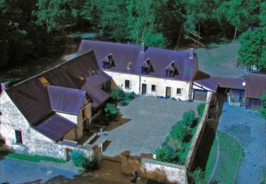
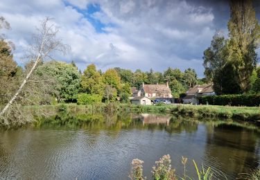
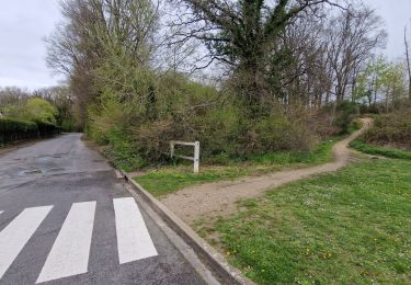
Trail Walking of 9 km to be discovered at Ile-de-France, Yvelines, Clairefontaine-en-Yvelines. This trail is proposed by Didier-114.
Positioning
Country:
France
Region :
Ile-de-France
Department/Province :
Yvelines
Municipality :
Clairefontaine-en-Yvelines
Location:
Unknown
Start:(Dec)
Start:(UTM)
419502 ; 5385001 (31U) N.
Comments
Trails nearby
_Sensations originelles
Walking
Medium
(8)
La Celle-les-Bordes,
Ile-de-France,
Yvelines,
France
3h 30min
Yes
_Aux sources de la Rabette
Walking
Easy
(15)
Clairefontaine-en-Yvelines,
Ile-de-France,
Yvelines,
France
7.2 km | 8.3 km-effort
1h 51min
Yes
_Animaux de la ferme et faune sauvage
Walking
Medium
(1)
La Celle-les-Bordes,
Ile-de-France,
Yvelines,
France
12.7 km | 13.5 km-effort
3h 0min
Yes
_Entre allées royales et pâtures
Walking
Easy
(2)
La Celle-les-Bordes,
Ile-de-France,
Yvelines,
France
7.7 km | 9.5 km-effort
2h 0min
Yes
_Sonchamp, entre ruelles, étang et forêt
Walking
Medium
Sonchamp,
Ile-de-France,
Yvelines,
France
8.9 km | 10.1 km-effort
2h 30min
Yes
_La marlotterie
Walking
Easy
Sonchamp,
Ile-de-France,
Yvelines,
France
5.9 km | 6.8 km-effort
1h 30min
Yes
Sonchamps-Lorieux
Walking
Difficult
(1)
Sonchamp,
Ile-de-France,
Yvelines,
France
11 km | 12.5 km-effort
2h 45min
Yes
Clairefontaine
Walking
Easy
Clairefontaine-en-Yvelines,
Ile-de-France,
Yvelines,
France
12.1 km | 14.1 km-effort
3h 11min
Yes
Yvelines_Saint-Arnoult=>BoisDeRochefort=>Rochefort
Walking
Easy
Saint-Arnoult-en-Yvelines,
Ile-de-France,
Yvelines,
France
11.8 km | 14.2 km-effort
3h 13min
Yes