


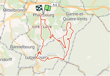


15.9 km | 21 km-effort


User


FREE GPS app for hiking
 SityTrail
IGN / Geographical institutes
SityTrail World
The world is yours!
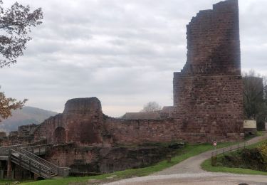
Trail Walking of 19.2 km to be discovered at Grand Est, Moselle, Phalsbourg. This trail is proposed by nfranche.
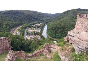
Très belle combinaison d'une bonne partie du circuit des lavoirs avec celui du château de Lutzelbourg qui vaut vraiment la petite grimpette pour l'atteindre
Walking
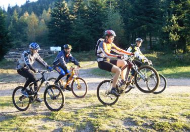
Mountain bike
Walking

On foot
Walking

Walking
Walking

Equestrian
On foot