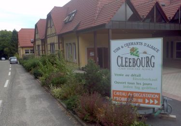
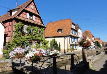
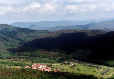
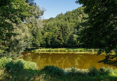
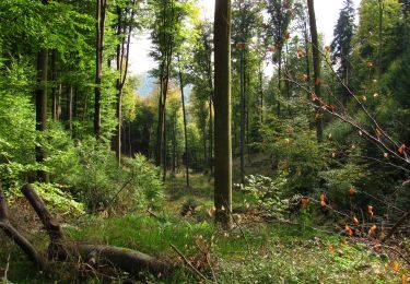
Trail On foot Schweigen-Rechtenbach - Schweigen kappelenweg - Photo
 MAD-CVW
MAD-CVW

User

© OpenStreetMap contributors
Length
Length
21 km
Max alt
Max alt
528 m
Uphill gradient
Uphill gradient
672 m
Km-Effort
Km-Effort  
30 km
Min alt
Min alt
199 m
Downhill gradient
Downhill gradient
675 m
Boucle
Boucle
Yes
Creation date :
2023-04-23 19:14:02.335
Updated on :
2023-04-23 19:17:13.393

(0 Reviews)

On foot
On foot
6h46
Difficulty : Medium
Walking
Walking
5h30
Difficulty : Very difficult

Scan this QR Code to open this trail in the SityTrail application

FREE GPS app for hiking

Logo SityTrail SityTrail

IGN / Geographical institutes

Download SityTrail from the App Store Download SityTrail from Google Play

Logo SityTrail SityTrail World

The world is yours!

Download SityTrail from the App Store Download SityTrail from Google Play Download SityTrail on Huawei AppGallery

About

Trail On foot of 21 km to be discovered at Rhineland-Palatinate, Landkreis Südliche Weinstraße, Schweigen-Rechtenbach. This trail is proposed by MAD-CVW.

Description

Départ Schweigen - Weintor jusqu'à Dörrenbach Eglise. Très jolis sentiers et chemins forestiers en passant par les ruines du Gutenberg et le Stäfelsturm (bancs et tables pique-nique également 500m plus loin). Retour par Weinpfad-Rectangle jaune-Compostelle a travers les vignes.

Elevation profile

Positioning

Country:
Germany
Region :
Rhineland-Palatinate
Department/Province :
Landkreis Südliche Weinstraße
Municipality :
Schweigen-Rechtenbach
Location:
Unknown
Start:(UTM)
423716 ; 5433768 (32U) N.

Trails nearby

Trail On foot Wissembourg - Rotes Kreuz - Photo
On foot
GUIDE+

On foot

Easy
Wissembourg, Grand Est, Bas-Rhin, France
6.5 km | 9.6 km-effort
2h 11min
No
Trail On foot Wissembourg - Disque vert - Photo
On foot
GUIDE+

On foot

Easy
Wissembourg, Grand Est, Bas-Rhin, France
8.9 km | 12.9 km-effort
2h 56min
No
Trail On foot Wissembourg - Anneau rouge - Photo
On foot
GUIDE+

On foot

Easy
Wissembourg, Grand Est, Bas-Rhin, France
7.4 km | 9.6 km-effort
2h 11min
Yes
Trail On foot Wissembourg - Anneau vert - Photo
On foot
GUIDE+

On foot

Easy
Wissembourg, Grand Est, Bas-Rhin, France
13.5 km | 18.3 km-effort
4h 9min
Yes
Trail On foot Dörrenbach - Weg der Aussichten, Dörrenbach - Photo
On foot
GUIDE+

On foot

Easy
Dörrenbach, Rhineland-Palatinate, Landkreis Südliche Weinstraße, Germany
5.3 km | 7.9 km-effort
1h 47min
No
Trail On foot Schweigen-Rechtenbach - Rund ums Steinbühl Schweigen-Rechtenbach - Photo
On foot
GUIDE+

On foot

Easy
Schweigen-Rechtenbach, Rhineland-Palatinate, Landkreis Südliche Weinstraße, Germany
7.8 km | 11.1 km-effort
2h 31min
No
Trail On foot Schweigen-Rechtenbach - Ruine Guttenberg Tour Schweigen-Rechtenbach - Photo
On foot
GUIDE+

On foot

Easy
Schweigen-Rechtenbach, Rhineland-Palatinate, Landkreis Südliche Weinstraße, Germany
10.2 km | 14.2 km-effort
3h 13min
Yes
Trail On foot Wissembourg - Grenzland Tour Schweigen-Rechtenbach - Photo
On foot
GUIDE+

On foot

Easy
Wissembourg, Grand Est, Bas-Rhin, France
11.3 km | 15.5 km-effort
3h 30min
Yes
Trail On foot Oberotterbach - Weg der Geschichte, Oberotterbach - Photo
On foot
GUIDE+

On foot

Easy
Oberotterbach, Rhineland-Palatinate, Landkreis Südliche Weinstraße, Germany
11.4 km | 15.6 km-effort
3h 32min
Yes


Close
My subscriptions