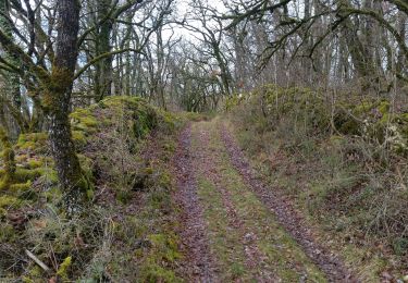
11.6 km | 17.4 km-effort
Luzech 2
saligne
User
Length
13.6 km
Max alt
283 m
Uphill gradient
459 m
Km-Effort
19.7 km
Min alt
101 m
Downhill gradient
457 m
Boucle
Yes
Creation date :
2023-04-23 13:16:50.471
Updated on :
2023-04-23 17:22:34.352
3h33
Difficulty : Difficult
FREE GPS app for hiking
About
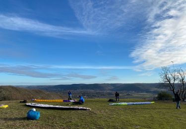
Trail Walking of 13.6 km to be discovered at Occitania, Lot, Luzech. This trail is proposed by saligne.
Description
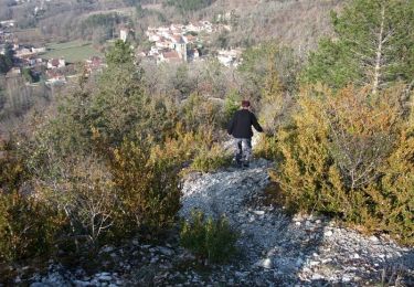
descente vers Luzech glissante par temps de pluie
Positioning
Country:
France
Region :
Occitania
Department/Province :
Lot
Municipality :
Luzech
Location:
Unknown
Start:(Dec)
Start:(UTM)
363677 ; 4926497 (31T) N.
Comments
Trails nearby
St Vincent-rive d’Holt (Lot)
Walking
Difficult
(1)
Saint-Vincent-Rive-d'Olt,
Occitania,
Lot,
France
3h 57min
Yes
Crayssac Cévennes
Walking
Very easy
Crayssac,
Occitania,
Lot,
France
6.3 km | 9.1 km-effort
1h 43min
No
De Luzech à Castelfranc
Walking
Very difficult
Luzech,
Occitania,
Lot,
France
24 km | 32 km-effort
5h 0min
Yes
Point de vue sur le cingle de Luzech
Walking
Difficult
(1)
Saint-Vincent-Rive-d'Olt,
Occitania,
Lot,
France
4.6 km | 7.3 km-effort
1h 30min
Yes
Fages_Pech-vert_Foulquet 6,5
Walking
Very easy
Luzech,
Occitania,
Lot,
France
6.5 km | 8.9 km-effort
2h 7min
Yes
Castelfranc Tindout 2019 02 08
Walking
Easy
Castelfranc,
Occitania,
Lot,
France
3.3 km | 4.6 km-effort
1h 42min
Yes
Castelfranc Tindout photos
Walking
Easy
Castelfranc,
Occitania,
Lot,
France
5 km | 6.9 km-effort
2h 1min
Yes
la cévenne de Crayssac
Nordic walking
Medium
Caillac,
Occitania,
Lot,
France
16.1 km | 22 km-effort
2h 41min
Yes