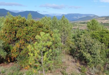
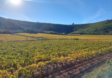
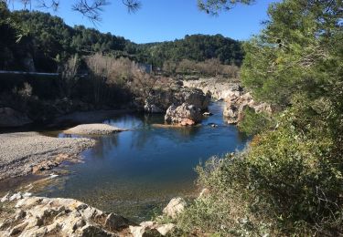
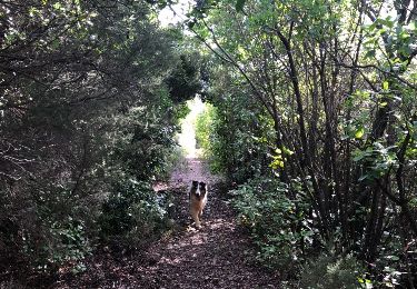
12.5 km | 14.4 km-effort
cazerdane 2
CANON2
User
Length
9.4 km
Max alt
206 m
Uphill gradient
167 m
Km-Effort
11.6 km
Min alt
95 m
Downhill gradient
168 m
Boucle
Yes
Creation date :
2019-05-15 13:08:50.551
Updated on :
2019-05-15 13:08:50.867
2h25
Difficulty : Unknown
FREE GPS app for hiking
About
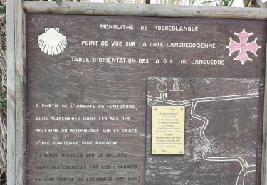
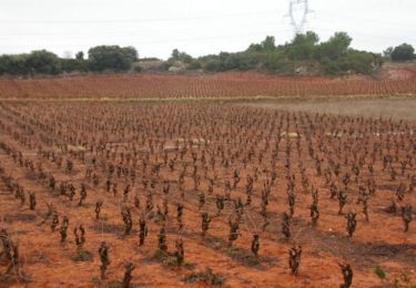
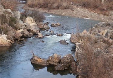
Trail Walking of 9.4 km to be discovered at Occitania, Hérault, Cazedarnes. This trail is proposed by CANON2.
Positioning
Country:
France
Region :
Occitania
Department/Province :
Hérault
Municipality :
Cazedarnes
Location:
Unknown
Start:(Dec)
Start:(UTM)
502559 ; 4808243 (31T) N.
Comments
Trails nearby
Prades-Broutelade
Walking
Easy
Prades-sur-Vernazobre,
Occitania,
Hérault,
France
13.6 km | 17.5 km-effort
4h 30min
No
Causses-et-Veyran / Chaos de Réals (Gourniès) / Viranel / Combe longue
Walking
Medium
Causses-et-Veyran,
Occitania,
Hérault,
France
13.3 km | 16.4 km-effort
4h 26min
Yes
Prades sur vernazobres
Walking
Easy
(1)
Prades-sur-Vernazobre,
Occitania,
Hérault,
France
10.3 km | 14.1 km-effort
2h 59min
Yes
TBG - ACAD - Abbaye de Fontcaude - Trace finale
Walking
Very difficult
(1)
Cazedarnes,
Occitania,
Hérault,
France
19.6 km | 25 km-effort
5h 39min
Yes
lugné le dolmen
Walking
Easy
Cessenon-sur-Orb,
Occitania,
Hérault,
France
6 km | 8.8 km-effort
1h 52min
No
Abbaye de Fontcaude - Cazedarnes
Walking
Medium
Cazedarnes,
Occitania,
Hérault,
France
7 km | 7.9 km-effort
2h 0min
Yes
boucle de Caisses et Veran avec passage devant l étang
Nordic walking
Easy
Causses-et-Veyran,
Occitania,
Hérault,
France
7.7 km | 9.6 km-effort
2h 0min
Yes