


11.8 km | 14 km-effort


User GUIDE


FREE GPS app for hiking
 SityTrail
IGN / Geographical institutes
SityTrail World
The world is yours!
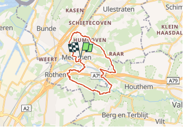
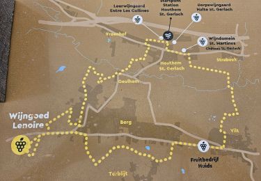
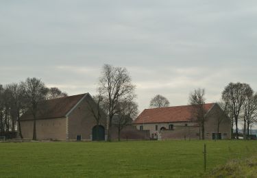
Trail Walking of 12.2 km to be discovered at Limburg, Unknown, Meerssen. This trail is proposed by mumu.larandonneuse.
ℹ www.wandelgidszuidlimburg.com n° 805.
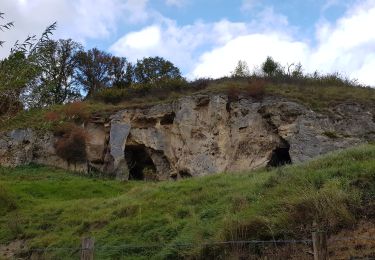
➡️ Au cours de cette balade vallonnée et variée, vous emprunterez de jolis sentiers à travers le Kalverbosch jusqu'au hameau de Humcoven. Par une route tranquille, vous marchez jusqu'au Geuldal, puis vous montez jusqu'à un magnifique point de vue avec vue sur le profond Curfsgroeve. Sur le chemin du retour, vous traversez les bois de la réserve naturelle de Dellen et un beau tronçon le long de la Gueule sinueuse. Enfin, vous traversez le magnifique parc Proosdij. Apportez vos propres provisions, après 8 km il y a un banc au-dessus de la carrière. Au bout se trouve une belle terrasse.
Walking
Walking
Walking
Walking
Walking
Walking
On foot
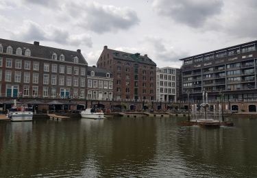
Superbe rando.