


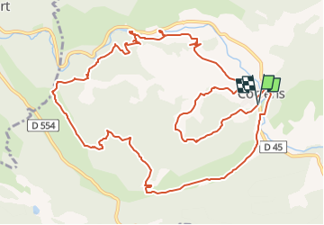

14.2 km | 18.1 km-effort


User


FREE GPS app for hiking
 SityTrail
IGN / Geographical institutes
SityTrail World
The world is yours!
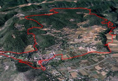
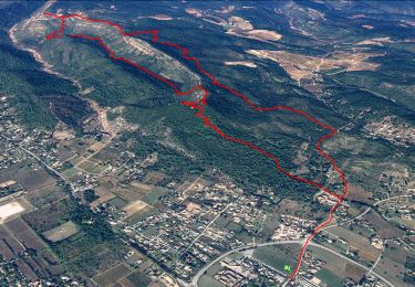
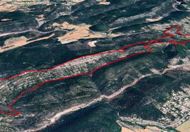
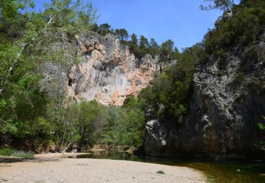
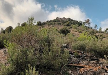
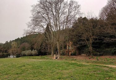
Trail Walking of 15.7 km to be discovered at Provence-Alpes-Côte d'Azur, Var, Correns. This trail is proposed by azzogege.
trace corrige passant au depart par le chemin faisant decouvrir le village et le fort GIBRON et reprise de l'itineraire par le trace original et passage par la grotte de sous ville
Walking
Walking
Walking
Walking
Walking
Walking

Walking

Walking

Mountain bike