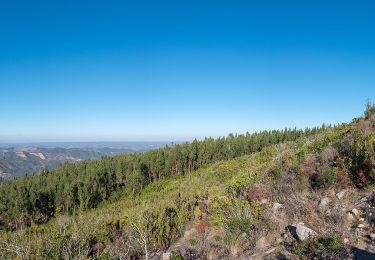
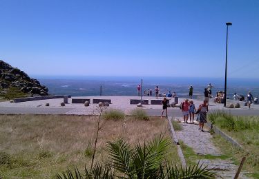
26 km | 38 km-effort
ALGARVE - Le Chemin des cascades dans la Serra de Monchique
Michel1963
User GUIDE
Length
18.5 km
Max alt
889 m
Uphill gradient
698 m
Km-Effort
28 km
Min alt
441 m
Downhill gradient
708 m
Boucle
No
Creation date :
2023-04-18 09:30:41.826
Updated on :
2023-04-19 07:32:04.082
5h32
Difficulty : Medium
FREE GPS app for hiking
About
Trail Walking of 18.5 km to be discovered at Algarve, Faro, Monchique. This trail is proposed by Michel1963.
Positioning
Country:
Portugal
Region :
Algarve
Department/Province :
Faro
Municipality :
Monchique
Location:
Unknown
Start:(Dec)
Start:(UTM)
536041 ; 4129995 (29S) N.
Comments
Trails nearby
Circuito da Picota (Rota das Árvores Monumentais)
On foot
Difficult
Monchique,
Algarve,
Faro,
Portugal
8h 38min
Yes
Circuito da Fóia (Rota das Árvores Monumentais)
On foot
Medium
Monchique,
Algarve,
Faro,
Portugal
15.8 km | 24 km-effort
5h 29min
Yes
Árvores da Vila (Rota das Árvores Monumentais)
On foot
Easy
Monchique,
Algarve,
Faro,
Portugal
6.4 km | 9.2 km-effort
2h 6min
Yes
Fóia e área envolvente (Rota da Geologia)
On foot
Medium
Monchique,
Algarve,
Faro,
Portugal
15.7 km | 22 km-effort
4h 59min
Yes
Algarve - Monchique n°15
Walking
Easy
(1)
Monchique,
Algarve,
Faro,
Portugal
7.8 km | 11.8 km-effort
2h 19min
Yes
Trilho dos Moinhos
On foot
Easy
Monchique,
Algarve,
Faro,
Portugal
9.3 km | 14.2 km-effort
3h 13min
Yes
Trilho da Fóia
On foot
Easy
(1)
Monchique,
Algarve,
Faro,
Portugal
6.5 km | 10.7 km-effort
2h 26min
Yes
Caminho das Caldas - Picota
On foot
Medium
Monchique,
Algarve,
Faro,
Portugal
18.6 km | 30 km-effort
6h 42min
Yes
Percurso Pedestre das Cascatas
On foot
Medium
Monchique,
Algarve,
Faro,
Portugal
17.9 km | 27 km-effort
6h 13min
Yes