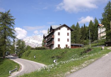
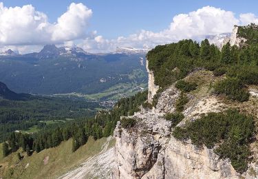
6 km | 11.6 km-effort
2023-04-18_09h19m57_2023-03-03_1044479858_Randonnée pédestre à Rifugio Biella (Seekofelhütte)
Detoli
User
Length
88 km
Max alt
2443 m
Uphill gradient
5500 m
Km-Effort
161 km
Min alt
1205 m
Downhill gradient
5500 m
Boucle
Yes
Creation date :
2023-04-18 07:19:58.805
Updated on :
2023-04-18 07:19:59.891
FREE GPS app for hiking
About
Trail of 88 km to be discovered at Veneto, Belluno, Cortina d'Ampezzo. This trail is proposed by Detoli.
Positioning
Country:
Italy
Region :
Veneto
Department/Province :
Belluno
Municipality :
Cortina d'Ampezzo
Location:
Unknown
Start:(Dec)
Start:(UTM)
280716 ; 5157789 (33T) N.
Comments
Trails nearby
Sentiero C.A.I. 211
On foot
Easy
Cortina d'Ampezzo,
Veneto,
Belluno,
Italy
7.5 km | 12.6 km-effort
2h 51min
No
Sentiero C.A.I. 212, Bivio sopra Mandres - Faloria - Strada Tre Croci
On foot
Easy
Cortina d'Ampezzo,
Veneto,
Belluno,
Italy
6.2 km | 14 km-effort
3h 11min
No
Sentiero C.A.I. 206, Strada per Tre Croci - Lareto - Son Forca
On foot
Easy
Cortina d'Ampezzo,
Veneto,
Belluno,
Italy
4.9 km | 10 km-effort
2h 16min
No
Bivio Mandres - Porta del Dio Silvano - Fraina - Miramonti
On foot
Easy
Cortina d'Ampezzo,
Veneto,
Belluno,
Italy
4.1 km | 7.5 km-effort
1h 41min
No