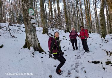
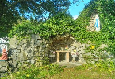
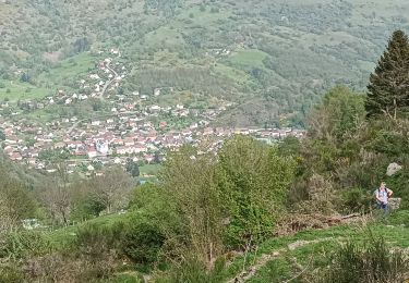
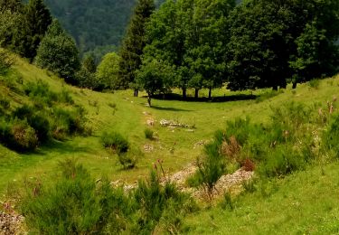
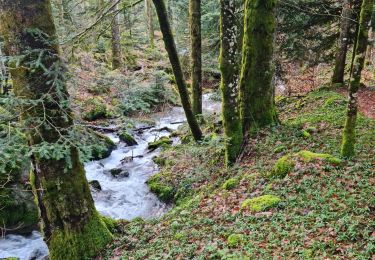
15 km | 24 km-effort
le Drumont depuis langmatt
margotte
User
Length
9.6 km
Max alt
1146 m
Uphill gradient
515 m
Km-Effort
16.4 km
Min alt
636 m
Downhill gradient
516 m
Boucle
Yes
Creation date :
2023-04-17 08:54:28.968
Updated on :
2023-04-17 12:04:48.579
3h09
Difficulty : Medium
FREE GPS app for hiking
About
Trail Walking of 9.6 km to be discovered at Grand Est, Haut-Rhin, Fellering. This trail is proposed by margotte.
Positioning
Country:
France
Region :
Grand Est
Department/Province :
Haut-Rhin
Municipality :
Fellering
Location:
Unknown
Start:(Dec)
Start:(UTM)
347076 ; 5307257 (32T) N.
Comments
Trails nearby
Col de Bussang - Rouge Gazon - Séchenat
Walking
Difficult
(1)
Bussang,
Grand Est,
Vosges,
France
6h 0min
No
Felsach _chapelle ST Nicolas_frenz
Walking
Difficult
(3)
Fellering,
Grand Est,
Haut-Rhin,
France
9.6 km | 16.5 km-effort
3h 45min
Yes
6146369-Chapelle St Nicolas 2
Walking
Medium
(1)
Oderen,
Grand Est,
Haut-Rhin,
France
10.9 km | 17.9 km-effort
3h 41min
Yes
TREK ALSACIEN (boucle, la meute)
Walking
Difficult
Oderen,
Grand Est,
Haut-Rhin,
France
14.3 km | 23 km-effort
4h 30min
Yes
Oderen Bergenbach Langenbach
Walking
Medium
Oderen,
Grand Est,
Haut-Rhin,
France
7.1 km | 11.6 km-effort
3h 40min
No
TREK ALSACIEN (1ère étape)
Walking
Medium
Oderen,
Grand Est,
Haut-Rhin,
France
9.2 km | 18.1 km-effort
4h 0min
No
Rando des Marcheurs..22/02/2024...
Walking
Very difficult
Ventron,
Grand Est,
Vosges,
France
19.5 km | 31 km-effort
5h 4min
Yes
Rando les Marcheurs..Col d'Oderen.18 km..715m D+/-
Walking
Very difficult
Ventron,
Grand Est,
Vosges,
France
18.6 km | 28 km-effort
4h 38min
Yes