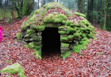
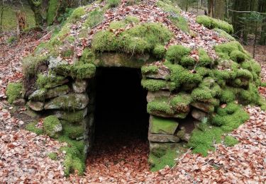
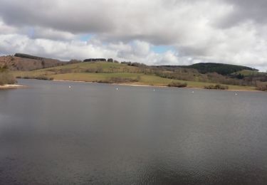
Trail Mountain bike Tarnac - VTT autour de Tarnac - Photo

VTT autour de Tarnac

© OpenStreetMap contributors
Length
Length
31 km
Max alt
Max alt
823 m
Uphill gradient
Uphill gradient
922 m
Km-Effort
Km-Effort  
44 km
Min alt
Min alt
568 m
Downhill gradient
Downhill gradient
921 m
Boucle
Boucle
Yes
Creation date :
2023-04-09 10:10:16.0
Updated on :
2023-04-15 18:38:46.344

(1 Reviews)

Mountain bike
Mountain bike
3h01
Difficulty : Medium

Scan this QR Code to open this trail in the SityTrail application

FREE GPS app for hiking

Logo SityTrail SityTrail
IGN / Geographical institutes

Download SityTrail from the App Store Download SityTrail from Google Play

Logo SityTrail SityTrail World
The world is yours!

Download SityTrail from the App Store Download SityTrail from Google Play Download SityTrail on Huawei AppGallery

About

Trail Mountain bike of 31 km to be discovered at New Aquitaine, Corrèze, Tarnac. This trail is proposed by Levillefranchois.

Description

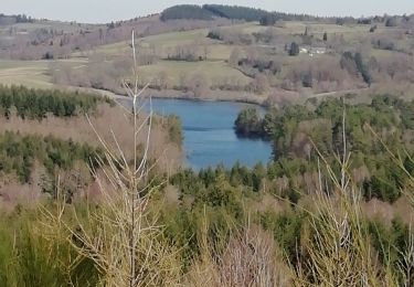
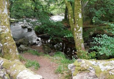
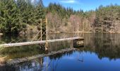
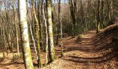
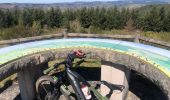
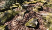
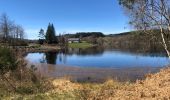
Joli parcours assez accidenté. belle vue à la table d'orientation de l'antenne relais
Celui que j'avais suivi devait être ancien, des chemins n'existent plus donc j'ai parfois improvisé et modifier, en particulier sur la fin du parcours, au lieu-dit La côte, kilometre 28, il n'y a plus de sentier, il faut descendre SE dans une friche puis un champ qui arrive à la route, suivre à droite pour trouver l'ouverture. Bien refermer la clôture.
Fait en VTTAE, pas de portage.

Elevation profile

Photos

Positioning

Country:
France
Region :
New Aquitaine
Department/Province :
Corrèze
Municipality :
Tarnac
Location:
Unknown
Start:(UTM)
417926 ; 5059185 (31T) N.

Comments

Please log in to post a review or rate the element


Trails nearby

Trail Walking Tarnac - Fred B C tarnac - Photo
Walking
arnoultjf

Walking

Difficult
Tarnac, New Aquitaine, Corrèze, France
9.2 km | 12.7 km-effort
3h 29min
Yes
Trail Walking Tarnac - Fred BC Tarnac - Photo
Walking
arnoultjf

Walking

Difficult
Tarnac, New Aquitaine, Corrèze, France
10.1 km | 13.7 km-effort
3h 45min
Yes
Trail Walking Peyrelevade - Fred lac du Chammet  - Photo
Walking
arnoultjf

Walking

Medium
Peyrelevade, New Aquitaine, Corrèze, France
6.7 km | 8.7 km-effort
1h 52min
Yes
Trail Walking Peyrelevade - Fred lac du chamet - Photo
Walking
arnoultjf

Walking

Very easy
Peyrelevade, New Aquitaine, Corrèze, France
8.7 km | 10 km-effort
2h 56min
Yes
Trail Walking Tarnac - Fred moulins et rochers  - Photo
Walking
arnoultjf

Walking

Very easy
(1)
Tarnac, New Aquitaine, Corrèze, France
12.6 km | 16.7 km-effort
4h 18min
Yes
Trail On foot Peyrelevade - GR440, jour 6 Lieu de bivouac à Lieu de bivouac sommet herbeux - Photo
On foot
MathieuBourgois

On foot

Easy
Peyrelevade, New Aquitaine, Corrèze, France
26 km | 33 km-effort
30min
No
Trail Walking Toy-Viam - circuit Toy Viam par le Petit Paris  - Photo
Walking
martinjacque

Walking

Easy
Toy-Viam, New Aquitaine, Corrèze, France
5.8 km | 8 km-effort
2h 26min
Yes
Trail Walking Viam - circuit la Voûte le Pouget  - Photo
Walking
martinjacque

Walking

Very easy
Viam, New Aquitaine, Corrèze, France
6 km | 7.7 km-effort
1h 58min
Yes
Trail Walking Tarnac - Tarnac 2 - Photo
Walking
taguette

Walking

Difficult
Tarnac, New Aquitaine, Corrèze, France
22 km | 28 km-effort
4h 52min
Yes


Close
My subscriptions