81 km | 94 km-effort
2023-04-13_21h07m51_SityTrail - 3587054 - quimperlex6x7x25x06x2023
JEFFV
User
Length
6.7 km
Max alt
70 m
Uphill gradient
133 m
Km-Effort
8.5 km
Min alt
6 m
Downhill gradient
133 m
Boucle
Yes
Creation date :
2023-04-13 19:07:51.158
Updated on :
2023-04-13 19:07:59.485
FREE GPS app for hiking
About
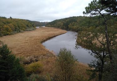
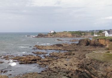
Trail of 6.7 km to be discovered at Brittany, Finistère, Quimperlé. This trail is proposed by JEFFV.
Positioning
Country:
France
Region :
Brittany
Department/Province :
Finistère
Municipality :
Quimperlé
Location:
Unknown
Start:(Dec)
Start:(UTM)
458956 ; 5298737 (30T) N.
Comments
Trails nearby
Moelans Pontivy par les berges du Blavet
Electric bike
Very easy
Clohars-Carnoët,
Brittany,
Finistère,
France
4h 43min
No
QUIMPERLÉ
Walking
Easy
(1)
Quimperlé,
Brittany,
Finistère,
France
12.9 km | 15.9 km-effort
3h 6min
No
Remontée de la Laïta de Guidel au Pouldu
Walking
Easy
Clohars-Carnoët,
Brittany,
Finistère,
France
18.7 km | 22 km-effort
6h 53min
Yes
Trémeven kermec
Walking
Easy
Tréméven,
Brittany,
Finistère,
France
8.2 km | 10.3 km-effort
2h 9min
Yes
laita vers guides plage
Walking
Easy
(1)
Quimperlé,
Brittany,
Finistère,
France
16.1 km | 20 km-effort
2h 40min
No
Forêt de Carnoët
Walking
Very easy
Quimperlé,
Brittany,
Finistère,
France
10.3 km | 12.4 km-effort
4h 2min
Yes
De Clohars à la Roche Percée
Walking
Medium
(1)
Clohars-Carnoët,
Brittany,
Finistère,
France
9.5 km | 10.9 km-effort
2h 30min
Yes