


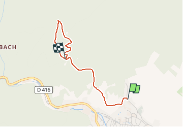

19.3 km | 24 km-effort


User


FREE GPS app for hiking
 SityTrail
IGN / Geographical institutes
SityTrail World
The world is yours!
Trail Walking of 2.5 km to be discovered at Grand Est, Haut-Rhin, Ribeauvillé. This trail is proposed by regisbodilis.
Parking Gîte Cartier Vacances
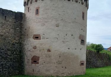
24 Rue du Lutzelbach - suivre rectangle rouge vers chateaux - puis monter à la cote 609 - puis redescendre vers parking.

Mountain bike

Walking

Walking

Walking
Walking
Walking

sport

Walking