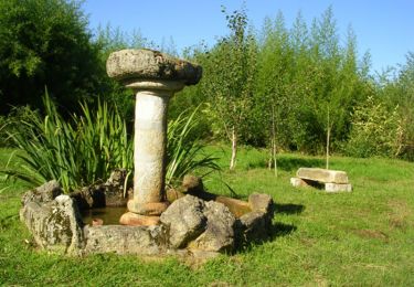
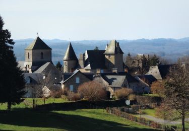
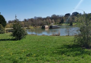
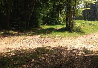
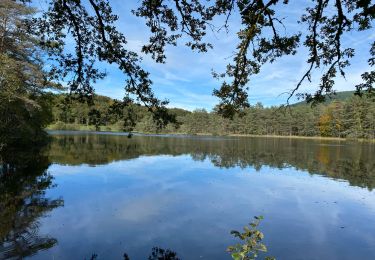
Trail Walking Soudaine-Lavinadière - Boucle sur les pentes du Puy des Fages - Photo

Boucle sur les pentes du Puy des Fages

 nico_be
nico_be

User

© OpenStreetMap contributors
Length
Length
8.1 km
Max alt
Max alt
497 m
Uphill gradient
Uphill gradient
230 m
Km-Effort
Km-Effort  
11.2 km
Min alt
Min alt
363 m
Downhill gradient
Downhill gradient
230 m
Boucle
Boucle
Yes
Creation date :
2023-04-11 09:31:39.104
Updated on :
2023-04-11 09:34:47.873

(1 Reviews)

Walking
Walking
2h32
Difficulty : Medium

Scan this QR Code to open this trail in the SityTrail application

FREE GPS app for hiking

Logo SityTrail SityTrail

IGN / Geographical institutes

Download SityTrail from the App Store Download SityTrail from Google Play

Logo SityTrail SityTrail World

The world is yours!

Download SityTrail from the App Store Download SityTrail from Google Play Download SityTrail on Huawei AppGallery

About

Trail Walking of 8.1 km to be discovered at New Aquitaine, Corrèze, Soudaine-Lavinadière. This trail is proposed by nico_be.

Elevation profile

Points of interest

Point of interest Soudaine-Lavinadière - Parking avant la mairie - Photo
nico_be
SOUDAINE-LAVINADIÈRE 
Point of interest Soudaine-Lavinadière - Intersection - Photo
nico_be
SOUDAINE-LAVINADIÈRE 
Point of interest Soudaine-Lavinadière - Patte d'oie en forêt - Photo
nico_be
SOUDAINE-LAVINADIÈRE 
Point of interest Soudaine-Lavinadière - La Rigaudie - Photo
nico_be
SOUDAINE-LAVINADIÈRE 
Point of interest Soudaine-Lavinadière - Passerelle sur un ruisseau - Photo
nico_be
SOUDAINE-LAVINADIÈRE 
Point of interest Soudaine-Lavinadière - Départ de chemin - Photo
nico_be
SOUDAINE-LAVINADIÈRE 
Point of interest Soudaine-Lavinadière - La Cassière - Photo
nico_be
SOUDAINE-LAVINADIÈRE 
Point of interest Soudaine-Lavinadière - Intersection, tout droit - Photo
nico_be
SOUDAINE-LAVINADIÈRE 
Point of interest Soudaine-Lavinadière - Route D178 - Photo
nico_be
SOUDAINE-LAVINADIÈRE 
Point of interest Soudaine-Lavinadière - Parking de la mairie - Photo
nico_be
SOUDAINE-LAVINADIÈRE 

Positioning

Country:
France
Region :
New Aquitaine
Department/Province :
Corrèze
Municipality :
Soudaine-Lavinadière
Location:
Unknown
Start:(UTM)
401827 ; 5045585 (31T) N.

Comments

Please log in to post a review or rate the element


Trails nearby

Trail Walking Treignac - circuit 2 depuis le centre - Photo
Walking
nico_be

Walking

Difficult
(1)
Treignac, New Aquitaine, Corrèze, France
10.9 km | 14.8 km-effort
3h 22min
Yes
Trail Walking Treignac - Treignac Trephy - Photo
Walking
Jamartrita

Walking

Easy
Treignac, New Aquitaine, Corrèze, France
18.1 km | 24 km-effort
6h 25min
No
Trail Walking Treignac - Treignac Trephy - Photo
Walking
Jamartrita

Walking

Easy
Treignac, New Aquitaine, Corrèze, France
18.1 km | 24 km-effort
6h 25min
No
Trail Walking Chamberet - Balade Chambertoise - Chamberet - Photo
Walking
tracegps

Walking

Medium
(1)
Chamberet, New Aquitaine, Corrèze, France
8.1 km | 10.4 km-effort
2h 0min
Yes
Trail Walking Affieux - Le rocher des folles - Affieux - Photo
Walking
tracegps

Walking

Medium
(1)
Affieux, New Aquitaine, Corrèze, France
9.7 km | 12.4 km-effort
2h 30min
Yes
Trail Walking Chamberet - Chamberet - L'arboretum - Photo
Walking
dlaudain

Walking

Very easy
Chamberet, New Aquitaine, Corrèze, France
2.1 km | 2.8 km-effort
1h 10min
Yes
Trail Motor Treignac - tregnac - Photo
Motor
fnunes

Motor

Easy
Treignac, New Aquitaine, Corrèze, France
41 km | 55 km-effort
1h 49min
Yes
Trail Walking Chamberet - Les Roches de Scoeux - Chamberet - Photo
Walking
tracegps

Walking

Medium
Chamberet, New Aquitaine, Corrèze, France
9.5 km | 12.8 km-effort
2h 30min
Yes
Trail sport Treignac - Sob Treignac Corrèze - Photo
sport
Glurps

sport

Very easy
Treignac, New Aquitaine, Corrèze, France
29 km | 39 km-effort
Unknown
No


Close
My subscriptions