


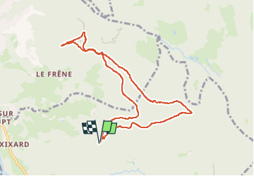

20 km | 28 km-effort


User


FREE GPS app for hiking
 SityTrail
IGN / Geographical institutes
SityTrail World
The world is yours!
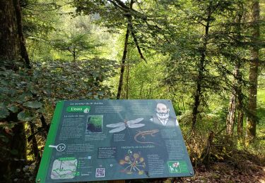
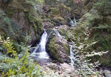
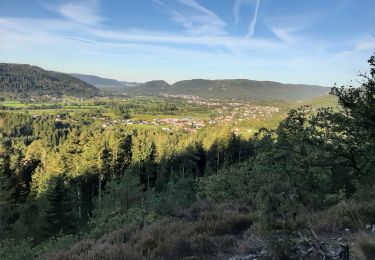
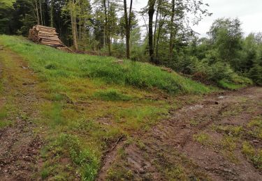
Trail Walking of 9 km to be discovered at Grand Est, Vosges, Saint-Étienne-lès-Remiremont. This trail is proposed by pasq65.
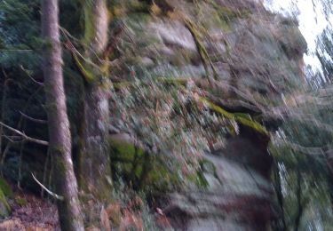
point de vue de la roche des cuveaux. une partie de la rando sur ancien chemin,limite hors piste

Walking
Walking


Running
Walking
Walking
Walking
Walking