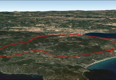
12.2 km | 14.7 km-effort
le capob
nano38
User
Length
5.1 km
Max alt
27 m
Uphill gradient
81 m
Km-Effort
6.2 km
Min alt
0 m
Downhill gradient
80 m
Boucle
No
Creation date :
2023-04-09 09:13:09.634
Updated on :
2023-04-09 13:26:44.092
2h09
Difficulty : Medium
FREE GPS app for hiking
About
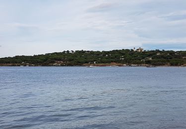
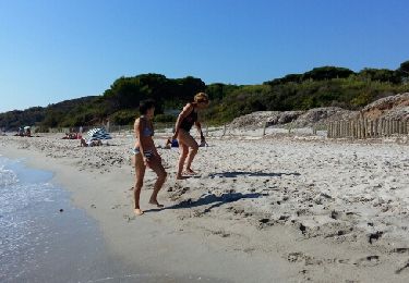
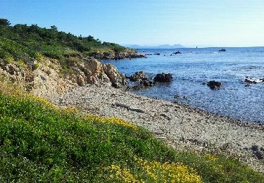
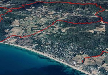
Trail Walking of 5.1 km to be discovered at Provence-Alpes-Côte d'Azur, Var, Saint-Tropez. This trail is proposed by nano38.
Description
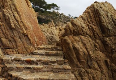
jolie balade chemin du litotal
Positioning
Country:
France
Region :
Provence-Alpes-Côte d'Azur
Department/Province :
Var
Municipality :
Saint-Tropez
Location:
Unknown
Start:(Dec)
Start:(UTM)
312520 ; 4791590 (32T) N.
Comments
Trails nearby
PRESQU'ÎLE DE SAINT TROPEZ
Walking
Medium
(3)
Saint-Tropez,
Provence-Alpes-Côte d'Azur,
Var,
France
5h 19min
Yes
Saint Tropez
Walking
Easy
(1)
Saint-Tropez,
Provence-Alpes-Côte d'Azur,
Var,
France
11.7 km | 13.7 km-effort
4h 19min
No
chemin du littoral : Pampelone St Tropez
Walking
Easy
(3)
Ramatuelle,
Provence-Alpes-Côte d'Azur,
Var,
France
13.2 km | 15.6 km-effort
3h 20min
No
Golfe de St Tropez
Walking
Difficult
(2)
Saint-Tropez,
Provence-Alpes-Côte d'Azur,
Var,
France
15.1 km | 17.6 km-effort
4h 30min
Yes
St tropez calanque
Walking
Medium
(1)
Saint-Tropez,
Provence-Alpes-Côte d'Azur,
Var,
France
9.9 km | 11.4 km-effort
3h 52min
Yes
SityTrail - Ramatuelle - Ballade dans et autour de Ramatuelle - Moulin de Pai...
Mountain bike
Medium
(1)
Ramatuelle,
Provence-Alpes-Côte d'Azur,
Var,
France
23 km | 30 km-effort
2h 3min
Yes
VTT-AE - Mataranne - Bonne Terrasse - Camarat - Collebasse - paillas.
Electric bike
Medium
Ramatuelle,
Provence-Alpes-Côte d'Azur,
Var,
France
33 km | 43 km-effort
3h 0min
Yes
Cap Camarat
Walking
Easy
Ramatuelle,
Provence-Alpes-Côte d'Azur,
Var,
France
8.5 km | 11.4 km-effort
5h 30min
Yes
VTT Mataranne - Paillas - Gassin - St Tropez
Mountain bike
Medium
Ramatuelle,
Provence-Alpes-Côte d'Azur,
Var,
France
30 km | 37 km-effort
3h 0min
Yes