


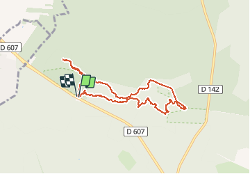


7.5 km | 8.2 km-effort

User


FREE GPS app for hiking
 SityTrail
IGN / Geographical institutes
SityTrail World
The world is yours!
Trail Walking of 8.2 km to be discovered at Ile-de-France, Seine-et-Marne, Fontainebleau. This trail is proposed by randodan.
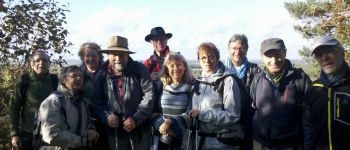
Cuvier Chatillon avec Marche et Rêve<br>
- 7 novembre 2014 -<br>
Mauvaise surprise ce matin : on avait prévu Apremont, mais les chasseurs ont réquisitionné tout le secteur :o( Tant pis, on bascule sur Cuvier Chatillon.<br>
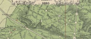
9h40, départ du Carrefour de l'Epine pour le Denecourt n°5.<br>
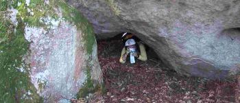
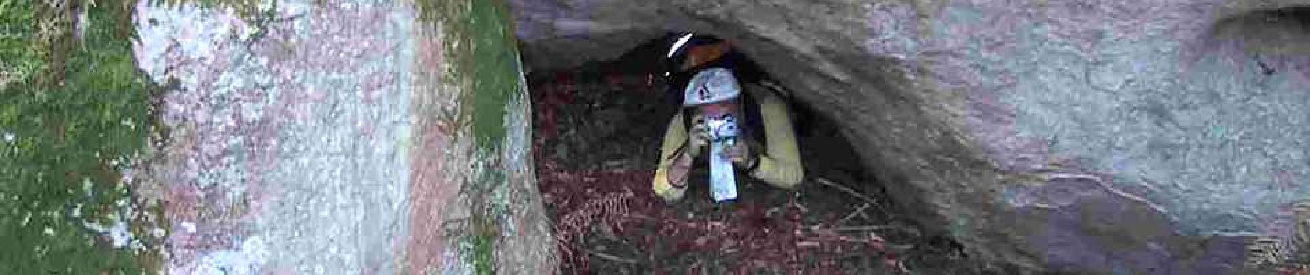
Le trou du "Q" de la Roche Cambronne est - vu sa forme évocatrice et ce qu'a dit Cambronne - on ne peut plus représentatif :o)<br>
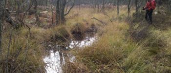
Coin-coin, la Mare aux Canards . Un tout petit hors piste pour récupérer le sentier des Mares à Dagneau, on arrive même à en faire le tour.<br>
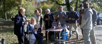
Midi moins dix, nous posons nos sacs et nos fesses pour le pique-nique devant les nénuphars de la Mare à Piat. Nous ne nous étions jamais arrêtés si tôt pour le casse-croûte, mais le coin est trop bien.<br>
Midi et demi, nous repartons vers le GR1-TMF . Arrivés à l'embranchement du parking (Rte de la Solitude) le soleil maintenant radieu nous incite à faire un peu de rabe, un aller-retour au Point de Vue du Camp de Chailly.<br>
14h30, de retour aux voitures pour les gâteaux et le cidre.<br>
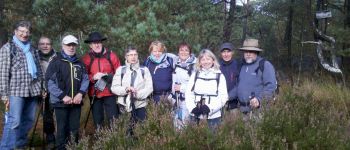
11 participants.<br>


Walking

Walking

Walking

Walking

On foot

Walking

On foot

Walking

On foot