


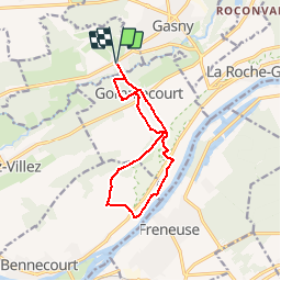

8.8 km | 11.5 km-effort


User


FREE GPS app for hiking
 SityTrail
IGN / Geographical institutes
SityTrail World
The world is yours!
Trail Walking of 10.7 km to be discovered at Normandy, Eure, Sainte-Geneviève-lès-Gasny. This trail is proposed by Marie-Claire-mcp.
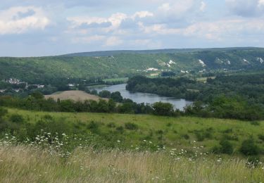
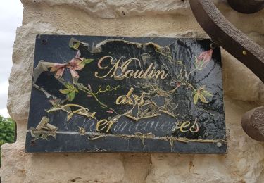
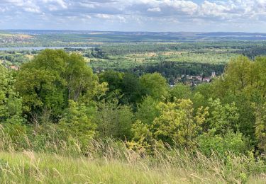
Départ Eglise de Sainte Geneviève les Gasny Gommecourt, Tripleval puis Bord de Seine et Clachalôze puis Gommecourt par les chemin du moulin

Walking

Walking
Walking
Walking
On foot
Walking
Walking
Walking

Walking