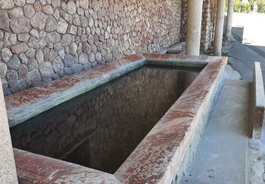
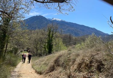
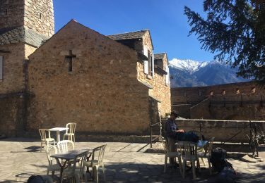
13.5 km | 17.2 km-effort
Cattyar
mvge
User
Length
9.3 km
Max alt
799 m
Uphill gradient
515 m
Km-Effort
15.6 km
Min alt
321 m
Downhill gradient
321 m
Boucle
No
Creation date :
2023-04-04 06:41:19.881
Updated on :
2023-04-04 12:38:57.682
3h12
Difficulty : Medium
FREE GPS app for hiking
About
Trail Walking of 9.3 km to be discovered at Occitania, Pyrénées-Orientales, Catllar. This trail is proposed by mvge.
Positioning
Country:
France
Region :
Occitania
Department/Province :
Pyrénées-Orientales
Municipality :
Catllar
Location:
Unknown
Start:(Dec)
Start:(UTM)
452671 ; 4720143 (31T) N.
Comments
Trails nearby
Sirach-Taurinya-Saint Michel de Cuxa
Walking
Easy
(2)
Ria-Sirach,
Occitania,
Pyrénées-Orientales,
France
2h 31min
Yes
Prades - Villefranche de Conflent - Evol
Motor
Easy
(1)
Codalet,
Occitania,
Pyrénées-Orientales,
France
36 km | 48 km-effort
3h 47min
No
cami del pi
Mountain bike
Very easy
(1)
Ria-Sirach,
Occitania,
Pyrénées-Orientales,
France
11.2 km | 18.4 km-effort
1h 52min
Yes
le tour de saint Michel de cuxià
Walking
Medium
Codalet,
Occitania,
Pyrénées-Orientales,
France
8.1 km | 11.1 km-effort
2h 37min
Yes
Codalet /Taurinya / St Michel de cuca
Walking
Medium
Codalet,
Occitania,
Pyrénées-Orientales,
France
14.4 km | 21 km-effort
3h 49min
No
codalet . coll de Clara . abbaye St Michel de Cuxa . canal bohère
Walking
Medium
Prades,
Occitania,
Pyrénées-Orientales,
France
9.8 km | 14.7 km-effort
4h 21min
Yes
cap Béarn depuis port vendres
Walking
Very difficult
Catllar,
Occitania,
Pyrénées-Orientales,
France
111 km | 126 km-effort
49h 38min
No
Los Masos Lionat
Walking
Very easy
Los Masos,
Occitania,
Pyrénées-Orientales,
France
11.2 km | 15.5 km-effort
3h 11min
Yes
Ville franche / fort Liberia /Chapelle St André de Bell lloc / St esteve de c...
Walking
Medium
Fuilla,
Occitania,
Pyrénées-Orientales,
France
11.5 km | 21 km-effort
3h 39min
Yes