


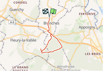

3.5 km | 4.2 km-effort


User


FREE GPS app for hiking
 SityTrail
IGN / Geographical institutes
SityTrail World
The world is yours!
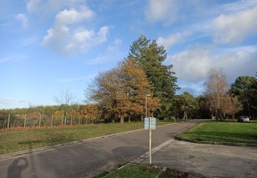
Trail Walking of 9.9 km to be discovered at Bourgogne-Franche-Comté, Yonne, Branches. This trail is proposed by Dominique Noel.
salle des fêtes à Branches
Walking
Walking
Walking
Walking
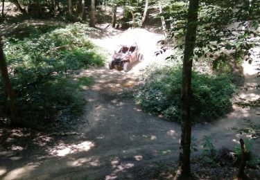
Quad
Walking

Walking

Mountain bike
Electric bike