


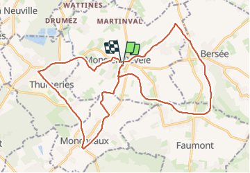

17.7 km | 18.7 km-effort


User


FREE GPS app for hiking
 SityTrail
IGN / Geographical institutes
SityTrail World
The world is yours!
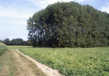
Trail Walking of 22 km to be discovered at Hauts-de-France, Nord, Mons-en-Pévèle. This trail is proposed by Greg813.
Randonnée avec Mettons Le Monde en Marche sur les sentiers de randonnées de la campagne environnant Mons en Pévèle
Pour d'autres photos, voir le site de l'association :
https://mmm-rando.org/randonnee-aux-deux-voies-2023/

Equestrian
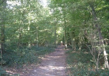
Walking
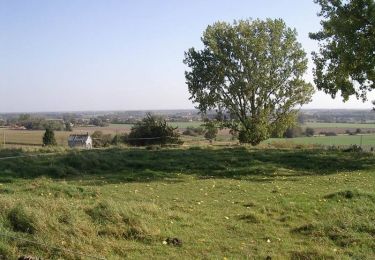
Walking

Walking

Walking

Nordic walking
Walking
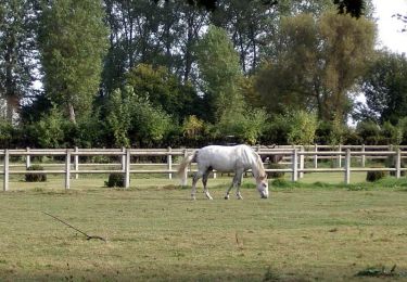
Equestrian
Walking