Trail Walking Saint-Hubert - 2023-04-02_15h34m46_Cirkwi-Saint-Hubert__Chemins_de_solitude - Photo

2023-04-02_15h34m46_Cirkwi-Saint-Hubert__Chemins_de_solitude

© OpenStreetMap contributors
Length
Length
19.8 km
Max alt
Max alt
574 m
Uphill gradient
Uphill gradient
515 m
Km-Effort
Km-Effort  
27 km
Min alt
Min alt
325 m
Downhill gradient
Downhill gradient
515 m
Boucle
Boucle
Yes
Creation date :
2023-04-02 13:34:46.461
Updated on :
2023-04-13 11:00:19.457

(0 Reviews)

Walking
Walking
6h03
Difficulty : Medium

Scan this QR Code to open this trail in the SityTrail application

FREE GPS app for hiking

Logo SityTrail SityTrail

IGN / Geographical institutes

Download SityTrail from the App Store Download SityTrail from Google Play

Logo SityTrail SityTrail World

The world is yours!

Download SityTrail from the App Store Download SityTrail from Google Play Download SityTrail on Huawei AppGallery

About

Trail Walking of 19.8 km to be discovered at Wallonia, Luxembourg, Saint-Hubert. This trail is proposed by mumu.larandonneuse.

Description

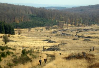
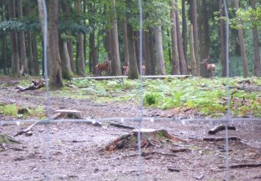
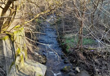
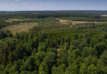
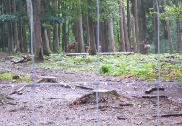
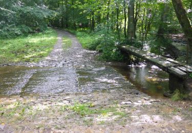
Cette balade vous fait entrer dans l'âme du grand vert. La forêt de Saint-Hubert est un hymne à la vie sauvage.  Après avoir quitté la Fagne de la Doneuse, débute une vallée luxuriante où coule un ruisseau. La descente est longue, agrémentée du bruit, toujours envoûtant, du ruisseau dévalant les rochers. Chemin faisant, vous longez la Boulaie du Rouge Poncé, une réserve naturelle qui représente un type de forêt qui recouvrait l’Ardenne avant son assèchement pour la production et l’exploitation de conifères. Plus loin, l’observatoire de la Bilaude permet, avec un peu de chance, d’observer la faune forestière. Via la vallée de la Masblette, l’itinéraire s’enfonce dans le monde du silence …  Randonnée issue de la brochure "20 randonnées pédestres incontournables" à consulter et télécharger ici: https://walloniebelgiquetourisme.be/fr-be/3/jaime/activites-sportives/randonnees-et-promenades/brochures-de-randonnees

Elevation profile

Positioning

Country:
Belgium
Region :
Wallonia
Department/Province :
Luxembourg
Municipality :
Saint-Hubert
Location:
Unknown
Start:(UTM)
670498 ; 5547218 (31U) N.

Trails nearby

Trail Walking Saint-Hubert - Saint-Hubert - La Borne (SH07) - Photo
Walking
GUIDE+

Walking

Difficult
(9)
Saint-Hubert, Wallonia, Luxembourg, Belgium
13.9 km | 17.6 km-effort
3h 47min
Yes
Trail Walking Saint-Hubert - RB-Lu-26_Saint-Hubert_via-racc-1-et-2 - Photo
Walking
PRO

Walking

Very easy
(7)
Saint-Hubert, Wallonia, Luxembourg, Belgium
14.6 km | 19.5 km-effort
4h 15min
Yes
Trail Walking Saint-Hubert - Saint-Hubert - Les Abanages (SH03) - Photo
Walking
GUIDE+

Walking

Difficult
(13)
Saint-Hubert, Wallonia, Luxembourg, Belgium
9.8 km | 13.1 km-effort
2h 49min
Yes
Trail Walking Saint-Hubert - Saint-Hubert - Les Gottes (SH02) - Photo
Walking
GUIDE+

Walking

Medium
(17)
Saint-Hubert, Wallonia, Luxembourg, Belgium
6.9 km | 8.6 km-effort
1h 52min
Yes
Trail Walking Saint-Hubert - Marche ADEPS Arville - Photo
Walking
GUIDE
Bernard Gillet

Walking

Medium
(1)
Saint-Hubert, Wallonia, Luxembourg, Belgium
10.2 km | 13.6 km-effort
2h 13min
Yes
Trail Walking Saint-Hubert - ADEPS Saint Hubert - Photo
Walking
GUIDE
Bernard Gillet

Walking

Difficult
(1)
Saint-Hubert, Wallonia, Luxembourg, Belgium
10.8 km | 13.7 km-effort
1h 57min
Yes
Trail Walking Tenneville - Balade pédestre de Bilaude - Photo
Walking
PRO

Walking

Medium
(9)
Tenneville, Wallonia, Luxembourg, Belgium
6 km | 7.8 km-effort
1h 46min
Yes
Trail Walking Saint-Hubert - RB-Lu-26_Saint-Hubert - Photo
Walking
PRO

Walking

Very easy
(6)
Saint-Hubert, Wallonia, Luxembourg, Belgium
25 km | 33 km-effort
7h 2min
Yes
Trail Walking Saint-Hubert - RB-Lu-26_Saint-Hubert_via-racc-2 - Photo
Walking
PRO

Walking

Very easy
(2)
Saint-Hubert, Wallonia, Luxembourg, Belgium
23 km | 30 km-effort
6h 19min
Yes


Close
My subscriptions