


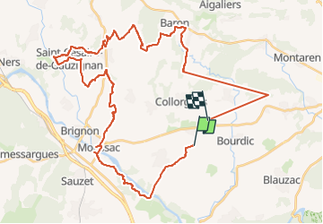

14.1 km | 17.3 km-effort


FREE GPS app for hiking
 SityTrail
IGN / Geographical institutes
SityTrail World
The world is yours!
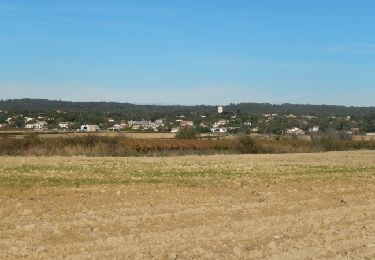
Trail Quad of 50 km to be discovered at Occitania, Gard, Garrigues-Sainte-Eulalie. This trail is proposed by 000417.5bf00a8556264123893935349bacc475.1730.
Quad
Walking

Walking
Walking
Walking
Walking

Walking
Walking

Mountain bike
Walking