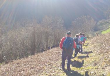
5.6 km | 9.8 km-effort
Trace boucle Est Lourdios G2 Guy
mitch1952
User
Length
7.3 km
Max alt
988 m
Uphill gradient
380 m
Km-Effort
12.4 km
Min alt
679 m
Downhill gradient
373 m
Boucle
Yes
Creation date :
2023-03-29 10:20:33.0
Updated on :
2023-03-29 14:10:48.606
3h48
Difficulty : Unknown
FREE GPS app for hiking
About
Trail Walking of 7.3 km to be discovered at New Aquitaine, Pyrénées-Atlantiques, Lourdios-Ichère. This trail is proposed by mitch1952.
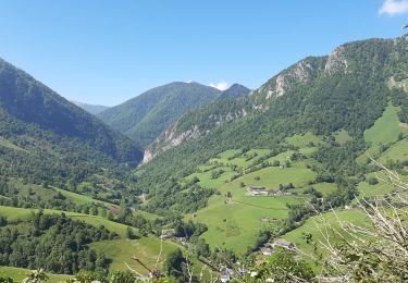
Positioning
Country:
France
Region :
New Aquitaine
Department/Province :
Pyrénées-Atlantiques
Municipality :
Lourdios-Ichère
Location:
Unknown
Start:(Dec)
Start:(UTM)
690118 ; 4770275 (30T) N.
Comments
Trails nearby
Circuit les fougeraies lourdios-Ichère
Walking
Easy
(1)
Lourdios-Ichère,
New Aquitaine,
Pyrénées-Atlantiques,
France
2h 14min
Yes
Col de Laünde asp07
On foot
Easy
Lourdios-Ichère,
New Aquitaine,
Pyrénées-Atlantiques,
France
5.5 km | 11.3 km-effort
2h 33min
No
Fougeraies de Laünde asp05
On foot
Easy
Lourdios-Ichère,
New Aquitaine,
Pyrénées-Atlantiques,
France
5.2 km | 9.3 km-effort
2h 6min
Yes
Tour Bilboquet-Barescou asp01
On foot
Easy
Escot,
New Aquitaine,
Pyrénées-Atlantiques,
France
9.9 km | 15.7 km-effort
3h 34min
Yes
ARETTE le tour du Soum de Casteigt "3356635"tracé definitif G4 du 26/08/2022
On foot
Easy
Arette,
New Aquitaine,
Pyrénées-Atlantiques,
France
7.8 km | 11.6 km-effort
2h 37min
Yes
Crêtes d'Issor
On foot
Medium
Arette,
New Aquitaine,
Pyrénées-Atlantiques,
France
8.7 km | 12.8 km-effort
Unknown
Yes
escot le bilboquet G3 fait
Walking
Very easy
Escot,
New Aquitaine,
Pyrénées-Atlantiques,
France
7.1 km | 12.5 km-effort
4h 57min
No
Tumulus de la serre - Issor
Walking
Medium
Issor,
New Aquitaine,
Pyrénées-Atlantiques,
France
4.8 km | 7.5 km-effort
1h 30min
Yes
LOURDIOS / ACCOUS G4 GR653 "3535494"
On foot
Easy
Sarrance,
New Aquitaine,
Pyrénées-Atlantiques,
France
9.7 km | 12.9 km-effort
3h 0min
No