86 km | 102 km-effort
La Tour 2018 45km 1200m
Alain Derrives
User
Length
22 km
Max alt
570 m
Uphill gradient
456 m
Km-Effort
28 km
Min alt
252 m
Downhill gradient
454 m
Boucle
Yes
Creation date :
2023-03-29 08:11:09.481
Updated on :
2023-03-29 08:12:00.176
1h55
Difficulty : Medium
FREE GPS app for hiking
About
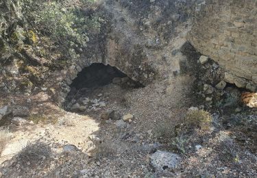
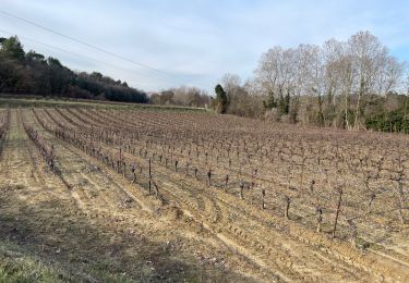
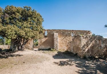
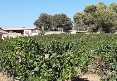
Trail Mountain bike of 22 km to be discovered at Provence-Alpes-Côte d'Azur, Vaucluse, La Tour-d'Aigues. This trail is proposed by Alain Derrives.
Positioning
Country:
France
Region :
Provence-Alpes-Côte d'Azur
Department/Province :
Vaucluse
Municipality :
La Tour-d'Aigues
Location:
Unknown
Start:(Dec)
Start:(UTM)
705754 ; 4844477 (31T) N.
Comments
Trails nearby
Le Pays d'Aigues à vélo
Cycle
Medium
(2)
La Tour-d'Aigues,
Provence-Alpes-Côte d'Azur,
Vaucluse,
France
5h 49min
Yes
2024-10-01 Grambois et les ruines des templiers
Walking
Difficult
Grambois,
Provence-Alpes-Côte d'Azur,
Vaucluse,
France
12 km | 16 km-effort
3h 38min
Yes
La Bastidonne 2015
Mountain bike
Medium
(1)
La Bastidonne,
Provence-Alpes-Côte d'Azur,
Vaucluse,
France
24 km | 28 km-effort
1h 51min
Yes
PF-La Tour d'Aigues - La Bastidonne - La Chapelle St Julien
Walking
Medium
La Tour-d'Aigues,
Provence-Alpes-Côte d'Azur,
Vaucluse,
France
14.7 km | 18.8 km-effort
4h 45min
Yes
Vignes du Château de la Dorgonne
Walking
Very easy
La Tour-d'Aigues,
Provence-Alpes-Côte d'Azur,
Vaucluse,
France
6.3 km | 8.1 km-effort
1h 32min
Yes
Étang de la Bonde
Walking
Very easy
La Motte-d'Aigues,
Provence-Alpes-Côte d'Azur,
Vaucluse,
France
3.1 km | 3.6 km-effort
40min
Yes
La tour d'Aigues
Walking
Easy
(1)
La Tour-d'Aigues,
Provence-Alpes-Côte d'Azur,
Vaucluse,
France
14.4 km | 18.2 km-effort
3h 59min
Yes
La Tour Cucuron
Cycle
Easy
(1)
La Tour-d'Aigues,
Provence-Alpes-Côte d'Azur,
Vaucluse,
France
27 km | 32 km-effort
1h 50min
Yes
En passant par la montagne
Cycle
Easy
(1)
La Tour-d'Aigues,
Provence-Alpes-Côte d'Azur,
Vaucluse,
France
18.6 km | 23 km-effort
1h 40min
Yes