

Golbey (Réservoir de Bouzey) 20 380m +453m

DanielROLLET
User

Length
20 km

Max alt
473 m

Uphill gradient
453 m

Km-Effort
26 km

Min alt
344 m

Downhill gradient
453 m
Boucle
Yes
Creation date :
2023-03-28 16:18:09.243
Updated on :
2023-03-28 16:29:54.941
6h00
Difficulty : Very difficult

FREE GPS app for hiking
About
Trail Walking of 20 km to be discovered at Grand Est, Vosges, Golbey. This trail is proposed by DanielROLLET.
Description
2023 03 28 - 9h30 à 15h15 - avec Marie
Départ/retour parking supérette Auchan Golbey
Beau temps mais frais (vent du nord)
Pause 12h50 à 13h20 au poste de surveillance de la baignade
Positioning
Country:
France
Region :
Grand Est
Department/Province :
Vosges
Municipality :
Golbey
Location:
Unknown
Start:(Dec)
Start:(UTM)
308727 ; 5339251 (32U) N.
Comments
Trails nearby

humbertois les ,2lacs


Walking
Medium
Épinal,
Grand Est,
Vosges,
France

7.3 km | 8.9 km-effort
1h 55min
Yes

epinal florémont bouxières


Road bike
Medium
(1)
Épinal,
Grand Est,
Vosges,
France

93 km | 110 km-effort
6h 26min
Yes

Grand Est - Ligne 18 - Epinal St Diè


Other activity
Very easy
Épinal,
Grand Est,
Vosges,
France

61 km | 68 km-effort
5min
No

Grand Est - Ligne 18,7 - Epinal Remiremont


Other activity
Very easy
Épinal,
Grand Est,
Vosges,
France

27 km | 31 km-effort
5min
No
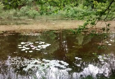
De Chantraine à Bouzey


Walking
Easy
Chantraine,
Grand Est,
Vosges,
France

14.6 km | 18.2 km-effort
3h 47min
Yes


 SityTrail


