


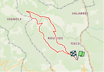

18.1 km | 33 km-effort


FREE GPS app for hiking
 SityTrail
IGN / Geographical institutes
SityTrail World
The world is yours!
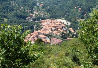
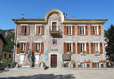
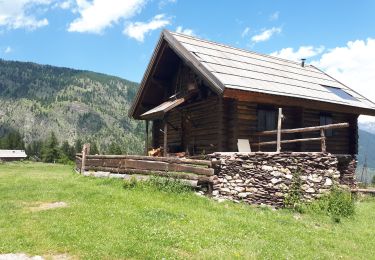
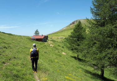
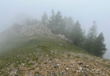
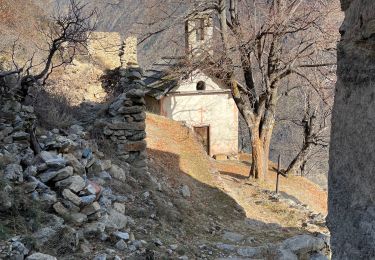
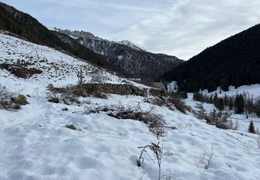
Trail of 17.6 km to be discovered at Provence-Alpes-Côte d'Azur, Maritime Alps, Roure. This trail is proposed by louventouletdu04@hotmail.fr.
Walking

On foot
On foot

Walking
Walking
Walking
Walking
Walking
Walking