


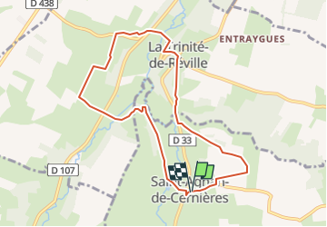

11.2 km | 12 km-effort


User


FREE GPS app for hiking
 SityTrail
IGN / Geographical institutes
SityTrail World
The world is yours!
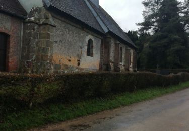
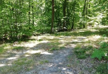
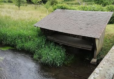
Trail Walking of 8.1 km to be discovered at Normandy, Eure, Saint-Agnan-de-Cernières. This trail is proposed by DranoelNiala.
Quelques petites grimpettes!
Walking

Walking
Mountain bike

Walking
Walking
Walking

Walking