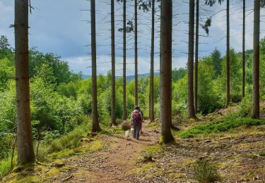
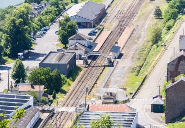
Trail Walking Viroinval - Oignies (Ry de Nouée & GR12) - Photo

Oignies (Ry de Nouée & GR12)

© OpenStreetMap contributors
Length
Length
12.9 km
Max alt
Max alt
380 m
Uphill gradient
Uphill gradient
277 m
Km-Effort
Km-Effort  
16.5 km
Min alt
Min alt
234 m
Downhill gradient
Downhill gradient
255 m
Boucle
Boucle
No
Creation date :
2023-03-25 12:16:00.767
Updated on :
2023-03-26 10:51:34.069

(0 Reviews)

Walking
Walking
3h16
Difficulty : Difficult

Scan this QR Code to open this trail in the SityTrail application

FREE GPS app for hiking

Logo SityTrail SityTrail

IGN / Geographical institutes

Download SityTrail from the App Store Download SityTrail from Google Play

Logo SityTrail SityTrail World

The world is yours!

Download SityTrail from the App Store Download SityTrail from Google Play Download SityTrail on Huawei AppGallery

About

Trail Walking of 12.9 km to be discovered at Wallonia, Namur, Viroinval. This trail is proposed by etiennewilmotte.

Description

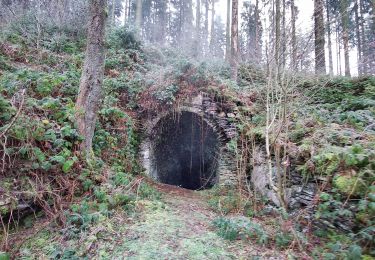
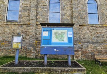
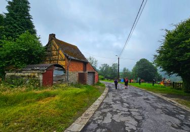
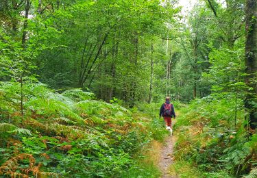
Au départ de l'église de Oignies, la balade démarre parallèlement à la piste cyclable (direction Olloy) puis emprunté le GR 12 vers la Franche Forêt de Oignies. Au bas de Regniessart, partir à droite en rive gauche du Ry de Nouée, toujours tout droit jusqu'au KM 6,7, franchirclr pont et remonter le GR en rive droite du même Ry. Suivre le GR jusqu'au Village de vacances de Oignies, ensuite vers le terrain de foot et descendre la rue de Vierves pour rejoindre le départ.

Elevation profile

Positioning

Country:
Belgium
Region :
Wallonia
Department/Province :
Namur
Municipality :
Viroinval
Location:
Unknown
Start:(UTM)
617548 ; 5542349 (31U) N.

Trails nearby

Trail Walking Viroinval - Le Trou du Diable à Oignies en Thiérache - Photo
Walking
GUIDE
Desrumaux

Walking

Very easy
(4)
Viroinval, Wallonia, Namur, Belgium
6.4 km | 9.1 km-effort
2h 32min
Yes
Trail Walking Viroinval - RF-Na-12 Oignies - Grande-boucle - Photo
Walking
PRO

Walking

Medium
(1)
Viroinval, Wallonia, Namur, Belgium
11 km | 14.2 km-effort
3h 2min
Yes
Trail Walking Viroinval - Balade à Le Mesnil - Viroinval - Photo
Walking
GUIDE
Desrumaux

Walking

Easy
Viroinval, Wallonia, Namur, Belgium
3.6 km | 4.8 km-effort
2h 16min
Yes
Trail Walking Viroinval - 2024-03-19_14h55m08_OTH-A0-008T-2Z7M - Photo
Walking
GUIDE
Desrumaux

Walking

Medium
Viroinval, Wallonia, Namur, Belgium
8.4 km | 11 km-effort
2h 29min
Yes
Trail Walking Viroinval - Balade à Regniessart - Viroinval - Photo
Walking
GUIDE
Desrumaux

Walking

Medium
Viroinval, Wallonia, Namur, Belgium
8.4 km | 10.6 km-effort
2h 24min
Yes
Trail Walking Viroinval - Balade à Oignies-en-Thiérache - Le Ry d'Alise - Photo
Walking
GUIDE
Desrumaux

Walking

Medium
Viroinval, Wallonia, Namur, Belgium
8.6 km | 11.8 km-effort
2h 40min
Yes
Trail On foot Fumay - Les Ardoisières de Fumay - Photo
On foot
GUIDE+

On foot

Easy
Fumay, Grand Est, Ardennes, France
7.8 km | 10.7 km-effort
2h 25min
No
Trail On foot Viroinval - Les Crêtes - Robertsart - Photo
On foot
GUIDE+

On foot

Easy
Viroinval, Wallonia, Namur, Belgium
9.9 km | 13.6 km-effort
3h 5min
Yes
Trail On foot Viroinval - Les Bornes - Photo
On foot
GUIDE+

On foot

Easy
Viroinval, Wallonia, Namur, Belgium
8 km | 10.7 km-effort
2h 26min
Yes


Close
My subscriptions