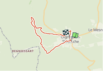

6.4 km | 9.1 km-effort


User


FREE GPS app for hiking
 SityTrail
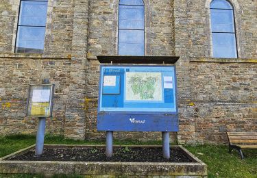
IGN / Geographical institutes
SityTrail World
The world is yours!
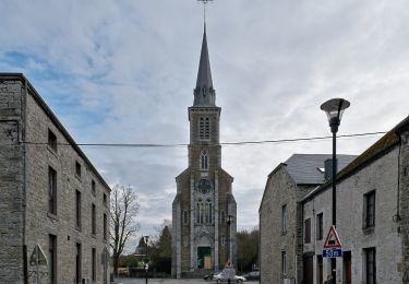
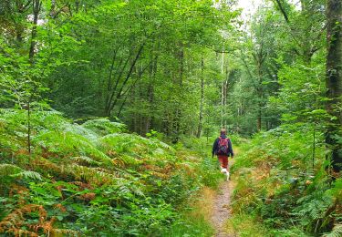
Trail Walking of 12.9 km to be discovered at Wallonia, Namur, Viroinval. This trail is proposed by etiennewilmotte.
Au départ de l'église de Oignies, la balade démarre parallèlement à la piste cyclable (direction Olloy) puis emprunté le GR 12 vers la Franche Forêt de Oignies. Au bas de Regniessart, partir à droite en rive gauche du Ry de Nouée, toujours tout droit jusqu'au KM 6,7, franchirclr pont et remonter le GR en rive droite du même Ry. Suivre le GR jusqu'au Village de vacances de Oignies, ensuite vers le terrain de foot et descendre la rue de Vierves pour rejoindre le départ.

Walking

Walking
Walking
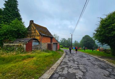
Walking
Walking

Walking
On foot
On foot