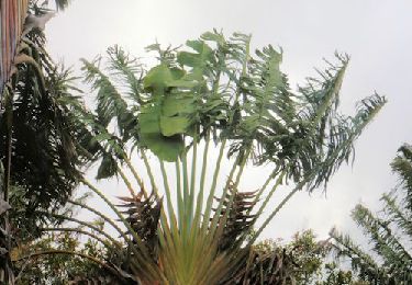
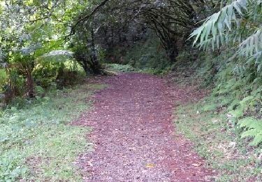
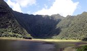
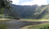
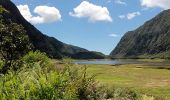
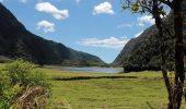
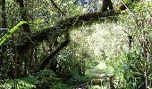
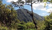
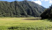
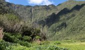
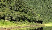
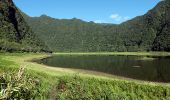
Trail Walking Saint-Benoît - La Réunion - Boucle du Grand Étang par la cascade du Bras d'Annette. - Photo

La Réunion - Boucle du Grand Étang par la cascade du Bras d'Annette.

 olive2b
olive2b

User

© OpenStreetMap contributors
Length
Length
10.3 km
Max alt
Max alt
795 m
Uphill gradient
Uphill gradient
497 m
Km-Effort
Km-Effort  
17 km
Min alt
Min alt
509 m
Downhill gradient
Downhill gradient
498 m
Boucle
Boucle
Yes
Creation date :
2016-03-09 00:00:00.0
Updated on :
2016-03-09 00:00:00.0

(0 Reviews)

Walking
Walking
4h56
Difficulty : Easy

Scan this QR Code to open this trail in the SityTrail application

FREE GPS app for hiking

Logo SityTrail SityTrail

IGN / Geographical institutes

Download SityTrail from the App Store Download SityTrail from Google Play

Logo SityTrail SityTrail World

The world is yours!

Download SityTrail from the App Store Download SityTrail from Google Play Download SityTrail on Huawei AppGallery

About

Trail Walking of 10.3 km to be discovered at Réunion, Unknown, Saint-Benoît. This trail is proposed by olive2b.

Description

Boucle du Grand Étang en passant par la cascade du Bras d'Annette.
Circuit assez boueux comme beaucoup de circuit de ce secteur. On croise beaucoup de grenouilles, voir un papangue (un peu plus dur à apercevoir). Retour a été fait par le sentier Puy de l’Étang.

Elevation profile

Photos

Points of interest

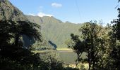
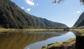
Point of interest Saint-Benoît - L'étang - Photo
olive2b
SAINT-BENOÎT 
Point of interest Saint-Benoît - Létang - Photo
olive2b
SAINT-BENOÎT 
Point of interest Saint-Benoît - L'étang - Photo
olive2b
SAINT-BENOÎT 
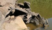
Point of interest Saint-Benoît - Souche dans l'étang - Photo
olive2b
SAINT-BENOÎT 
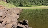
Point of interest Saint-Benoît - On longe la berge - Photo
olive2b
SAINT-BENOÎT 
Point of interest Saint-Benoît - Le tour de l'étang - Photo
olive2b
SAINT-BENOÎT 
Point of interest Saint-Benoît - Arbre à l'embranchement - Photo
olive2b
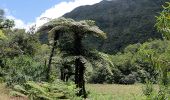
Point of interest Saint-Benoît - Arbre touffu - Photo
olive2b
SAINT-BENOÎT 
Point of interest Saint-Benoît - L'étang sur le retour - Photo
olive2b
SAINT-BENOÎT 
Point of interest Saint-Benoît - Etang - Photo
olive2b
SAINT-BENOÎT 
Point of interest Saint-Benoît - Ettang - Photo
olive2b
SAINT-BENOÎT 
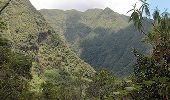
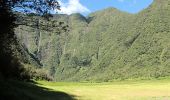
Point of interest Saint-Benoît - Vue des cascades sur le retour - Photo
olive2b
Point of interest Saint-Benoît - Cryptoméria - Photo
olive2b
SAINT-BENOÎT 
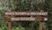
Point of interest Saint-Benoît - Pancarte Piste équestre - Photo
olive2b
Point of interest Saint-Benoît - Point de Vue de l'étang - Photo
olive2b
Point of interest Saint-Benoît - Cascade du Bras d'Annette - Photo
olive2b

Positioning

Country:
France
Region :
Réunion
Department/Province :
Unknown
Municipality :
Saint-Benoît
Location:
Unknown
Start:(UTM)
360167 ; 7666555 (40K) S.

Comments

Please log in to post a review or rate the element


chouette rando ...mais la boucle n est pas réalisable en saison des pluies...


Trails nearby

Trail Walking Saint-Benoît - La Réunion -  Boucle du sentier des Ravenales - Photo
Walking
olive2b

Walking

Easy
Saint-Benoît, Réunion, Unknown, France
3.1 km | 4.8 km-effort
1h 32min
Yes
Trail Walking Saint-Benoît - Takamaka - Photo
Walking
PascalXLD

Walking

Very difficult
Saint-Benoît, Réunion, Unknown, France
12.5 km | 25 km-effort
6h 38min
Yes
Trail Walking Saint-Benoît - Grand étang - Cascades du bras d'Annette - Photo
Walking
PascalXLD

Walking

Medium
Saint-Benoît, Réunion, Unknown, France
8.8 km | 16.7 km-effort
2h 34min
Yes
Trail Walking La Plaine-des-Palmistes - Rando urbaine Plaine des Palmistes et Cascade Biberon - Photo
Walking
GilbertLP

Walking

Very easy
La Plaine-des-Palmistes, Réunion, Unknown, France
6.6 km | 10.4 km-effort
2h 21min
Yes
Trail Walking Saint-Benoît - Foret des Ravenales - Photo
Walking
lgmalherbe

Walking

Medium
Saint-Benoît, Réunion, Unknown, France
3.1 km | 4.8 km-effort
1h 11min
Yes
Trail Walking Saint-Benoît - Takamaka - Photo
Walking
Olivier Moine

Walking

Saint-Benoît, Réunion, Unknown, France
4.7 km | 7.5 km-effort
3h 14min
Yes
Trail Walking Saint-Benoît - Foret de ravenales - Photo
Walking
lgmalherbe

Walking

Medium
Saint-Benoît, Réunion, Unknown, France
3.3 km | 5.1 km-effort
2h 2min
Yes
Trail Walking Saint-Benoît - Foret de ravenales - Photo
Walking
lgmalherbe

Walking

Medium
Saint-Benoît, Réunion, Unknown, France
3.3 km | 5.1 km-effort
2h 2min
Yes
Trail Walking Saint-Benoît - Grand étang et cascades du bras d'Annette - Photo
Walking
webmammuth

Walking

Easy
Saint-Benoît, Réunion, Unknown, France
8.7 km | 15.1 km-effort
2h 51min
Yes


Close
My subscriptions