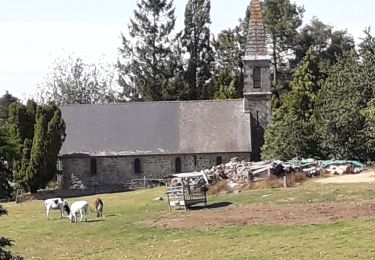
Trail Walking Landivy - Le long de l'Airon à partir de Landivy - Photo

Le long de l'Airon à partir de Landivy

 JMJ53350
JMJ53350

User

© OpenStreetMap contributors
Length
Length
18.4 km
Max alt
Max alt
221 m
Uphill gradient
Uphill gradient
218 m
Km-Effort
Km-Effort  
21 km
Min alt
Min alt
102 m
Downhill gradient
Downhill gradient
219 m
Boucle
Boucle
Yes
Creation date :
2023-03-24 17:57:02.707
Updated on :
2023-03-24 17:59:29.218

(0 Reviews)

Walking
Walking
4h50
Difficulty : Medium

Scan this QR Code to open this trail in the SityTrail application

FREE GPS app for hiking

Logo SityTrail SityTrail

IGN / Geographical institutes

Download SityTrail from the App Store Download SityTrail from Google Play

Logo SityTrail SityTrail World

The world is yours!

Download SityTrail from the App Store Download SityTrail from Google Play Download SityTrail on Huawei AppGallery

About

Trail Walking of 18.4 km to be discovered at Pays de la Loire, Mayenne, Landivy. This trail is proposed by JMJ53350.

Elevation profile

Points of interest

Point of interest Landivy - Place de l'Église - Photo
JMJ53350
Point of interest Landivy - Départementale D134 - Photo
JMJ53350
Point of interest Landivy - Fin 2è variante - Photo
JMJ53350
Point of interest Louvigné-du-Désert - Le Moulin du Pont  - Photo
JMJ53350
LOUVIGNÉ-DU-DÉSERT 
Point of interest Landivy - Fin de la 1ère variante - Photo
JMJ53350
Point of interest Landivy - Route des Pièces - Photo
JMJ53350
Point of interest Landivy - L'Aubriais au Blanc - Photo
JMJ53350
Point of interest Landivy - Départementale D31 - Photo
JMJ53350
Point of interest Landivy - Départementale D102 - Photo
JMJ53350
Point of interest Landivy - Le Bignon - Photo
JMJ53350
LANDIVY 
Point of interest Landivy - Place de l'Église - Photo
JMJ53350

Positioning

Country:
France
Region :
Pays de la Loire
Department/Province :
Mayenne
Municipality :
Landivy
Location:
Unknown
Start:(UTM)
645246 ; 5371591 (30U) N.

Trails nearby

Trail Walking Pontmain - Pontmain - Photo
Walking
norbertdenise

Walking

Very easy
Pontmain, Pays de la Loire, Mayenne, France
22 km | 25 km-effort
4h 48min
Yes
Trail Walking Fougerolles-du-Plessis - Claire-Fontaine et la Chapelle de Courbefosse à Fougerolles-du-Plessis - Photo
Walking
JMJ53350

Walking

Easy
Fougerolles-du-Plessis, Pays de la Loire, Mayenne, France
14.6 km | 17.5 km-effort
3h 58min
Yes
Trail Walking Pontmain - 30km brevet randonnée Pontmain 1er lai 2022 - Photo
Walking
norbertdenise

Walking

Easy
Pontmain, Pays de la Loire, Mayenne, France
31 km | 37 km-effort
6h 9min
Yes
Trail Walking Pontmain - Le tour du château - Photo
Walking
pnoblet

Walking

Very easy
Pontmain, Pays de la Loire, Mayenne, France
5.1 km | 6.1 km-effort
1h 12min
Yes
Trail Walking Fougerolles-du-Plessis - fougerolles goue - Photo
Walking
amitierando

Walking

Very easy
Fougerolles-du-Plessis, Pays de la Loire, Mayenne, France
10.4 km | 12.2 km-effort
2h 27min
Yes


Close
My subscriptions