


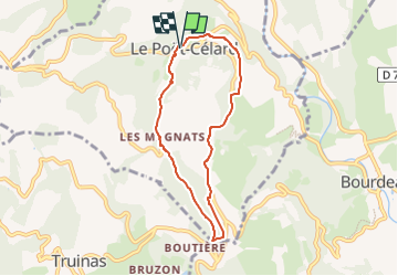

7.9 km | 11.2 km-effort


User


FREE GPS app for hiking
 SityTrail
IGN / Geographical institutes
SityTrail World
The world is yours!
Trail Walking of 6.5 km to be discovered at Auvergne-Rhône-Alpes, Drôme, Le Poët-Célard. This trail is proposed by ThierryJ01.
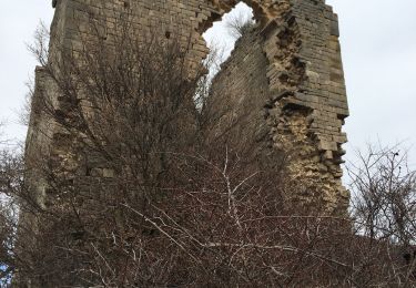
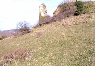
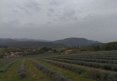
Le village perché du Poët-Célard offre un voyage dans le temps en parcourant ses ruelles médiévales qui convergent vers le château. Découvrez ensuite son terroir, avec le château de Saint-André.

Walking

Walking

Walking

Road bike

Walking

Walking
Walking
Walking
Walking