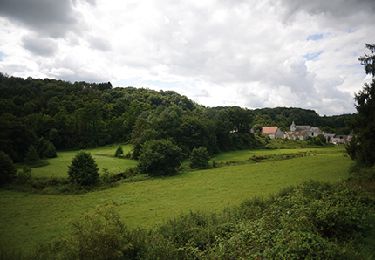
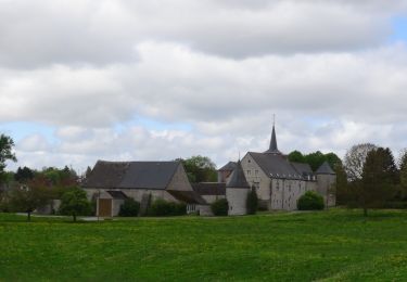
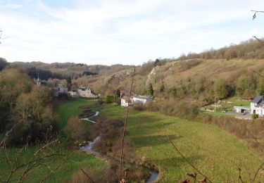
Trail Walking Mettet - ERMETON-sur-BIERT - Photo

ERMETON-sur-BIERT

© OpenStreetMap contributors
Length
Length
10.9 km
Max alt
Max alt
294 m
Uphill gradient
Uphill gradient
213 m
Km-Effort
Km-Effort  
13.8 km
Min alt
Min alt
199 m
Downhill gradient
Downhill gradient
212 m
Boucle
Boucle
Yes
Creation date :
2014-12-10 00:00:00.0
Updated on :
2014-12-10 00:00:00.0

(1 Reviews)

Walking
Walking
2h00
Difficulty : Easy

Scan this QR Code to open this trail in the SityTrail application

FREE GPS app for hiking

Logo SityTrail SityTrail

IGN / Geographical institutes

Download SityTrail from the App Store Download SityTrail from Google Play

Logo SityTrail SityTrail World

The world is yours!

Download SityTrail from the App Store Download SityTrail from Google Play Download SityTrail on Huawei AppGallery

About

Trail Walking of 10.9 km to be discovered at Wallonia, Namur, Mettet. This trail is proposed by GerardBouche.

Description

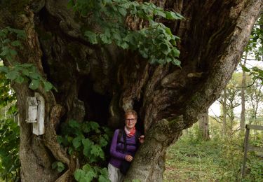
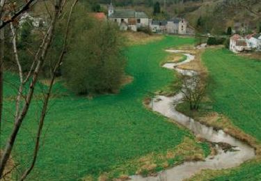
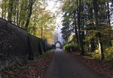
Très agréable balade par la Campagne de Stache->le Bois Gilles->La Haie Motte et l'Abbaye de Maredret.

Elevation profile

Positioning

Country:
Belgium
Region :
Wallonia
Department/Province :
Namur
Municipality :
Mettet
Location:
Ermeton-sur-Biert
Start:(UTM)
622652 ; 5573371 (31U) N.

Comments

Please log in to post a review or rate the element


Attention en début de rando, un sentier envahi par de hautes orties. C'est la nature ! Nous étions en short, nous avons fait un petit détour. SUPERBE aaprès-midi. Merci Gérard.


Trails nearby

Trail Walking Mettet - RB-Na-23-Sur le plateau de l’Entre-Sambre-et-Meuse - Photo
Walking
PRO

Walking

Very difficult
(8)
Mettet, Wallonia, Namur, Belgium
24 km | 29 km-effort
6h 39min
Yes
Trail Walking Anhée - RB-Na-16 - Paysages de la Molignée - Photo
Walking
PRO

Walking

Medium
(19)
Anhée, Wallonia, Namur, Belgium
18.3 km | 24 km-effort
5h 13min
Yes
Trail Walking Mettet - RB-Na-23-racc-Sur le plateau de l’Entre-Sambre-et-Meuse - Photo
Walking
PRO

Walking

Difficult
(8)
Mettet, Wallonia, Namur, Belgium
14 km | 16.7 km-effort
3h 47min
Yes
Trail Walking Anhée - RB-Na-16 Raccourci - Paysages de la Molignée - Photo
Walking
PRO

Walking

Easy
(17)
Anhée, Wallonia, Namur, Belgium
13 km | 16.6 km-effort
3h 40min
Yes
Trail Walking Anhée - Balade de l'abbaye de Maredsous à Ermeton-sur-Biert - Photo
Walking
GUIDE
Desrumaux

Walking

Easy
(4)
Anhée, Wallonia, Namur, Belgium
9.2 km | 11.9 km-effort
2h 32min
Yes
Trail Walking Anhée - Sosoye - Circuit Natura 2000, des sites qui valent le détour - Na11 - Photo
Walking
GUIDE+

Walking

Medium
(6)
Anhée, Wallonia, Namur, Belgium
4.9 km | 6.3 km-effort
1h 21min
Yes
Trail Walking Anhée - Balade à Denée - Photo
Walking
GUIDE
Desrumaux

Walking

Very easy
(1)
Anhée, Wallonia, Namur, Belgium
5.8 km | 7.4 km-effort
1h 35min
Yes
Trail Walking Anhée - MAREDSOUS ... par l'Abbaye de Maredret et la campagne de Bonsin. - Photo
Walking
GerardBouche

Walking

Easy
(1)
Anhée, Wallonia, Namur, Belgium
9.3 km | 12.3 km-effort
2h 0min
Yes
Trail Walking Anhée - Promenade de la Montagne de Sosoye - Photo
Walking
GUIDE
Desrumaux

Walking

Very easy
(2)
Anhée, Wallonia, Namur, Belgium
2.3 km | 3.2 km-effort
40min
Yes


Close
My subscriptions