


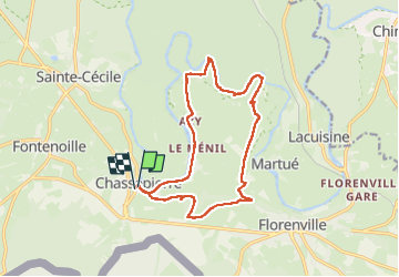

18 km | 22 km-effort

User


FREE GPS app for hiking
 SityTrail
IGN / Geographical institutes
SityTrail World
The world is yours!
Trail Walking of 14 km to be discovered at Wallonia, Luxembourg, Florenville. This trail is proposed by GerardBouche.
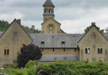
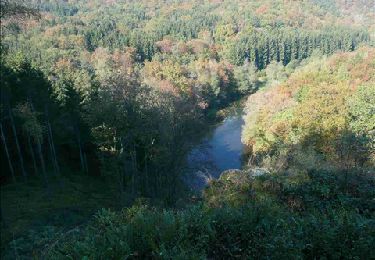
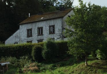
Très beau parcours par le Bois du Chaufour, la ferme des Froids-Vents et la Roche Lenel dans les méandres de la Semois.
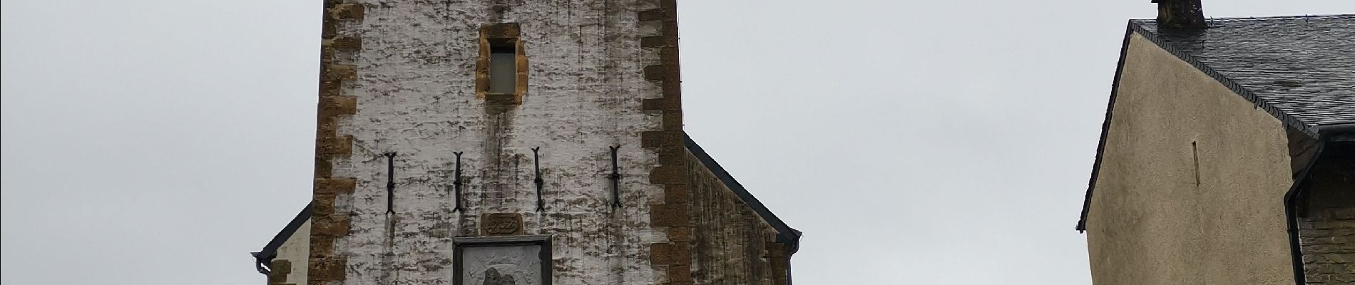
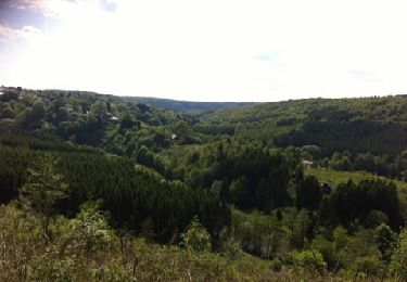
Sous la pluie et la grisaille, le sentier bordant la Semois reste plutôt technique.


Walking
Walking

Walking
Walking

Walking
Walking
Walking

Walking
Walking